How to drive the paved road to Lookout Pass on the Idaho-Montana border?
Lookout Pass is a mountain pass at an elevation of 1,440m (4,725ft) above sea level, located on the border of Idaho and Montana.
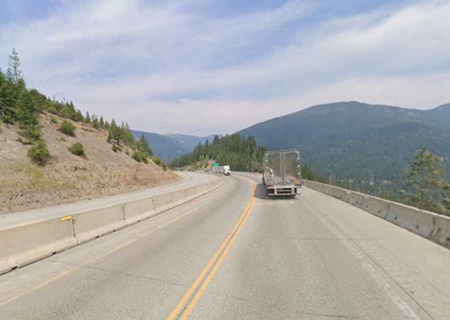
| Location | Shoshone County (ID) / Mineral County (MT) |
| Elevation | 1,440 m (4,725 ft) |
| Road | Interstate 90 |
| Length | 29.45 km (18.3 miles) |
| Gradient | 6% over 5 miles |
| Surface | Fully paved |
Where is Lookout Pass?
The pass is located on the border between Shoshone County (in Idaho) and Mineral County (in Montana).
Is the road to Lookout Pass paved?
The road through the pass is totally paved. It’s called Interstate 90. The road is steep in parts, maintaining an average gradient of 6% over a 5-mile stretch. Along the way there are white markers representing highway fatalities. It’s heavily used by trucks.
How long is the road to Lookout Pass?
The pass is 29.45km (18.3 miles) long, running west-east from Wallace (the county seat of Shoshone County in Idaho) to Taft (in Mineral County, Montana). It is one of the most vital transit routes in the Pacific Northwest. The route follows the footprint of the old Mullan Road (opened in the mid-19th century to connect Fort Benton with Walla Walla) and the Northern Pacific railway line.
Is Lookout Pass open year-round?
Set high between the Coeur d'Alene Mountains of Idaho and the Bitterroot Range of Montana, the road is open year-round. However, snow accumulation at the pass can exceed 400 inches annually and short-time closures are common in winters. The high altitude creates a microclimate that can shift from clear skies to blizzard conditions within minutes.