How to drive the unpaved road to Mickey Pass in Nevada?
Mickey Pass is a high mountain pass at an elevation of 1.791m (5,875ft) above sea level, located in Lyon County, in the US state of Nevada.
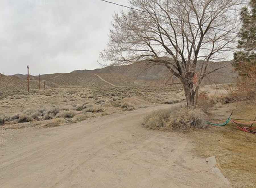
Where is Mickey Pass?
The pass is located west of Yerington, in the western part of Nevada.
Is the road to Mickey Pass unpaved?
The road to the summit is totally unpaved, consisting of packed dirt, dust, and loose gravel. It’s called Ann Mason Pass Road. Dry and accessible for high-clearance vehicles under normal weather, but subject to erosion or rough patches.
How long is the road to Mickey Pass?
Starting from Weed Heights, the road to the summit is 4.02km (2.5 miles) long. Over this distance, the elevation gain is 374m (1,230 ft) and the average gradient is 9.30%.
Is the road to Mickey Pass open in winters?
Set high in the Singatse Range, the road is usually open year-round.