How to drive the unpaved road to Indian Peak in Idaho?
Indian Peak is a high mountain peak at an elevation of 2.366m (7,762ft) above sea level, located in the Lemhi County, in the US state of Idaho.
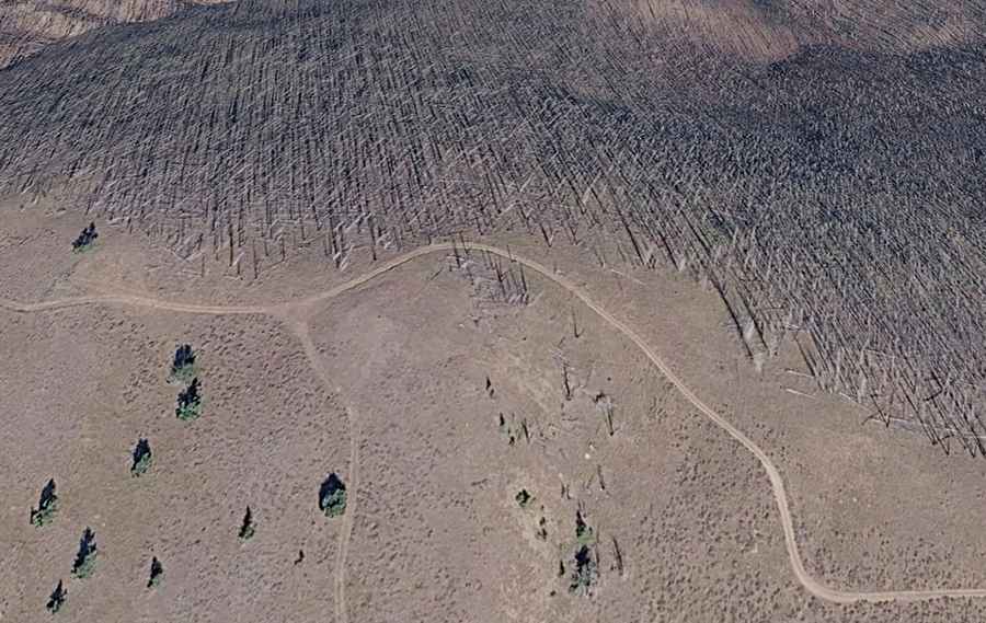
Where is Indian Peak?
The peak is located in the north-central part of Idaho, near the Montana border, within the Salmon-Challis National Forest. The mountain provides good views across Schwar Creek to the large masses of Bilk Mountain and Elk Mountain.
Is the road to Indian Peak unpaved?
The primitive road to the summit is totally unpaved. It’s called NF-110. The road is very narrow, twisted and steep in places. A 4x4 vehicle is required. Road use can be high some weekends and during hunting season so anticipate other vehicles on the corners.
How long is the road to Indian Peak?
Starting from NF-086, the road to the summit is 5 km (3.10 miles) long.
Is the road to Indian Peak open year-round?
Set high in the Bitterroot Mountains, on the divide between Schwar Creek and Buck Lake Creek, the road is not plowed in winters. It is one of the more remote places to reach in this part of Idaho. There are a lot of wolves in the area.