How to drive the paved road to Dixie Summit in Oregon?
Dixie Summit is a high mountain pass at an elevation of 1.603m (5,259ft) above sea level, located in Grant County, in the US state of Oregon.
Where is Dixie Summit?
The pass, known as Dixie Pass o Dixie Mountain Summit, is located in the eastern part of Oregon, within the Malheur National Forest. The pass hosts the smallest ski area in Oregon.
Is Dixie Summit paved?
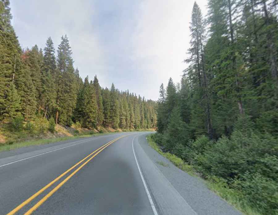
The road to the summit is totally paved. It’s called US-26. Although it is a major, fully paved federal highway, this specific section stands out for crossing a very remote and scenic mountain area, featuring sustained 4% to 6% grades and winding stretches that can become extremely challenging in winter due to ice and snow.
How long is the road through Dixie Summit?
The pass is 15 miles long, running north-south from the ghost town of Austin to Prairie City. North of the pass, a gravel road climbs up to Dixie Butte is a high mountain peak at an elevation of 2.317m (7,601ft) above the sea level.
Is the road through Dixie Summit open?
Set high in the Blue Mountains, the road is open year-round. Short-time closures in winters are common due to the heavy snowfall in the area.