How to drive the unpaved road to State Line Peak on the New Mexico-Colorado border?
State Line Peak is a high mountain peak located on the New Mexico-Colorado border, in the USA. South of the summit, a gravel road climbs up to an elevation of 3,676m (12,060ft) above sea level. It is one of the highest roads in New Mexico.
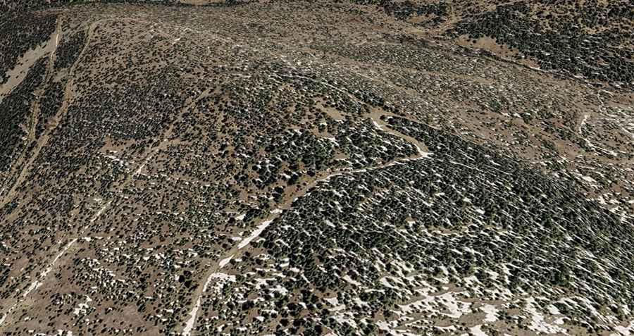
| Road facts: State Line Peak | |
|---|---|
| Location | Costilla County (Colorado) / Taos County (New Mexico), USA |
| Elevation at Summit Road | 3,676 m (12,060 ft) |
| Length | 8.1 km (5.0 miles) from Arellano Road |
| Elevation Gain | 612 m (2,007 ft) |
| Average Gradient | 7.55% |
| Max Gradient | 12% |
| Surface | 100% unpaved dirt and gravel |
| Vehicle Requirements | 4WD vehicle required |
Where is State Line Peak located?
The peak is located on the boundary between Costilla County (in Colorado) and Taos County (in New Mexico), within the Carson National Forest.
Is the road to State Line Peak unpaved?
Yes. The rugged, remote dirt road to the summit is totally unpaved. It is an old mining road with tight switchbacks, narrow sections, and steep ramps hitting a maximum gradient of 12%. A 4WD vehicle is required.
How long is the road to State Line Peak?
Starting from Arellano Road, the road to the summit is 8.1 km (5.0 miles) long. Over this distance, the elevation gain is 612 m (2,007 ft) and the average gradient is 7.55%.
Is the road to State Line Peak open year-round?
No. Set high in the Culebra Range of the Sangre de Cristo Mountains, the road is not plowed in winter. It is usually impassable from October through mid-June.