How to Drive the Western Divide Highway (M90 / FS 107) in California?
The Western Divide Highway (officially designated as County Route M90 and Forest Route 107) is a high-altitude asphalt road traversing the crest of the southern Sierra Nevada. Winding through the Sequoia National Forest, it serves as the critical mountain link between the CA-190 corridor and the Kern River basin.
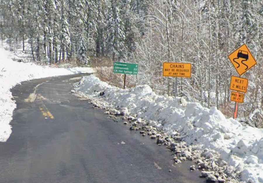
| Road facts: Western Divide Highway (M90 / FS 107) | |
|---|---|
| Location | Tulare County, California |
| Length | 15 miles (24 km) |
| Max Elevation | 2,194 m (7,198 ft) |
| Paved | Yes |
Where is the Western Divide Highway (M90 / FS 107)?
The road is located in Tulare County, in the southern section of California's Sierra Nevada range. It runs along the high crest of the mountains within the Sequoia National Forest and Giant Sequoia National Monument, connecting the upper Tule River basin with the Kern River drainage area.
Where does the Western Divide Highway (M90 / FS 107) start and end?
The route starts at its northern end at the junction with CA-190, right next to Quaking Aspen and the turnoff for Ponderosa. It ends 15 miles to the south at the junction with M50 (Parker Pass Road) near the historic logging community of Johnsondale.
How long is the Western Divide Highway (M90 / FS 107)?
The mountain road stretches for exactly 15 miles (24 km). It maintains a high-altitude course above 6,000 feet for almost its entire run, reaching its maximum elevation of 7,198 feet (2,194 m) near Ponderosa.
Is the Western Divide Highway (M90 / FS 107) paved?
Yes, the entire 15-mile stretch is paved with two full lanes. The asphalt is generally in fair to good condition, though winter freeze-thaw cycles regularly create potholes, rough patches, and loose gravel on sharp corners.
Is the Western Divide Highway (M90 / FS 107) open in winter?
No, the road closes during winter. Heavy snowfall at 7,000 feet forces county and forest authorities to shut down the main stretch between Quaking Aspen and Johnsondale, usually from late November through May. Snowplows only clear access up to Ponderosa, leaving the rest of the high-altitude route unmaintained until late spring snowmelt. Local authorities warn drivers that tire chains may be required at any time during shoulder seasons or unseasonal winter storms.