How Long Do You Have to Drive to Bar Island Before the Tide Covers the Track?
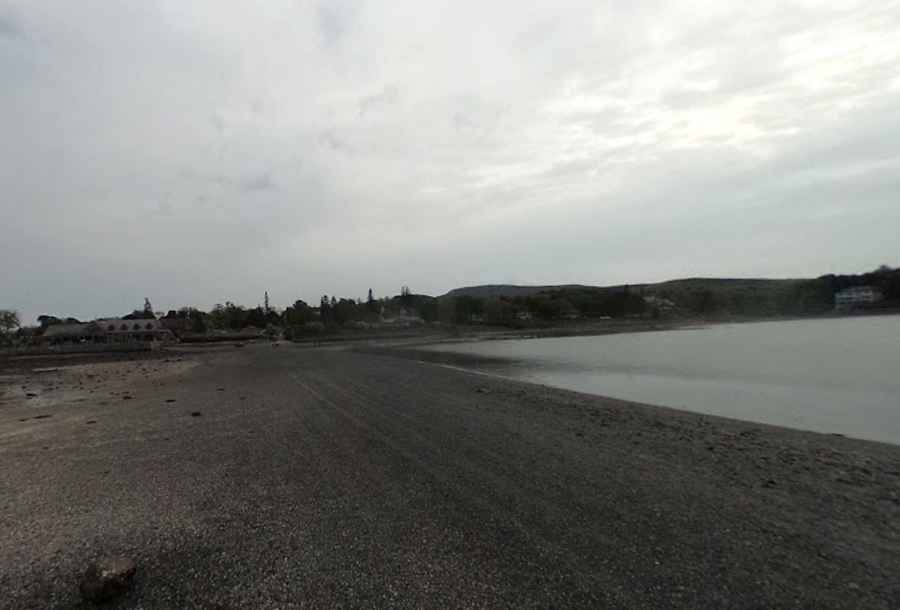
Bar Island Land Bridge (commonly known as The Bar) is a tidal gravel causeway in Bar Harbor, in the US state of Maine. Located within Acadia National Park, the natural land bridge emerges across Frenchman Bay during low tide to connect the town of Bar Harbor on Mount Desert Island with Bar Island. It’s one of the periodically flooded roads around the world.
| Road facts: Bar Island Land Bridge | |
|---|---|
| Location | Bar Harbor to Bar Island, Maine (USA) |
| Length | 1.2 km (0.75 miles) |
| Tidal Range | 3.0 to 3.6 meters (10 to 12 ft) |
| Access Window | 1.5 hours before to 1.5 hours after low tide |
| Surface | Coarse gravel, packed sand, and wet mudflats |
| Vehicle Access | Permitted (High risk of vehicle submergence) |
Where is the Bar Island Land Bridge located?
The tidal causeway starts at the end of Bridge Street in Bar Harbor, Maine. The 1.2-kilometer gravel bar extends north across the floor of Frenchman Bay to reach the southern shore of Bar Island, a protected sector of Acadia National Park.
Is the road to Bar Island paved?
No. The causeway consists of coarse gravel, loose stones, and saturated sand. The path remains submerged under several meters of saltwater for the majority of the day, leaving the surface wet and soft when exposed during the low-tide window.
How long is the crossing to Bar Island?
The gravel bar spans 1.2 kilometers (0.75 miles) from the mainland access ramp on Bridge Street to the entrance trail on Bar Island.
What are the main hazards when driving the Bar Island bar?
According to the National Park Service, the crossing is exposed for a strictly limited window of 1.5 hours before and 1.5 hours after low tide. The primary hazard is the rapid incoming tide, which rises up to 3.6 meters (12 feet) and quickly submerges the route. Vehicles driven onto the bar risk getting trapped in soft intertidal mudflats or submerged by ocean waters if the 3-hour window is exceeded.
Is the Bar Island Land Bridge open year-round?
The tidal mechanism operates year-round, exposing the gravel bar twice daily during low tide. However, winter crossing brings freezing salt spray, marine ice accumulation, and slippery mud, increasing traction loss risks for vehicles and foot traffic.
Road suggested by: ro Atkins
Pic: Plymouth Ansbergs (RainGoth)