How to drive the unpaved road to Old Baldy Mountain in Montana?
Old Baldy Mountain is a high mountain peak at an elevation of 2,499m (8,198ft) above sea level, located in Lewis and Clark County, in the U.S. state of Montana.
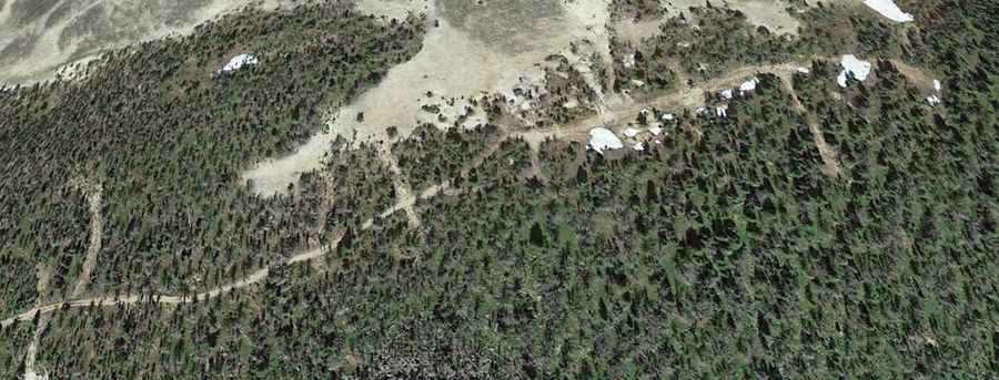
🇺🇸 Old Baldy Mountain Road Data
| Elevation | 2,499m (8,198ft) |
| Avg. Gradient | 13.66% |
| Distance | 1.31 km (from Basin Creek Rd) |
| Range | Big Belt Mountains |
Where is Old Baldy Mountain?
The peak is located in the central part of Montana, within the Big Belt Mountains. It’s located east of Helena, the state capital, and forms part of the Helena National Forest.
Is the road to Old Baldy Mountain unpaved?
The road to the summit is totally unpaved, with a gravel and rocky surface. It is a steep and narrow track that requires a high-clearance 4x4 vehicle. The final ascent features two sharp hairpin turns near the summit.
How long is the road to Old Baldy Mountain?
Starting from Basin Creek Road, the road to the summit is 1.31 km (0.81 miles) long. Over this distance, the elevation gain is 179m, resulting in a steep average gradient of 13.66%.
Is the road to Old Baldy Mountain open in winter?
Set high in the Big Belt Mountains, the road is not plowed and typically passable only from mid-spring to late autumn. During the winter months, heavy snowfall makes the track impassable for vehicles, and it remains closed until the snow melts in late May or June.