How to drive the unpaved County Road 204 in Colorado?
County Road 204 is an unpaved mountain track located in La Plata County, within the southwestern sector of the U.S. state of Colorado. Climbing high into the San Juan Mountains, the rough dirt track reaches a maximum elevation of 3,253 meters (10,672 ft) above sea level at the summit of Monument Hill.
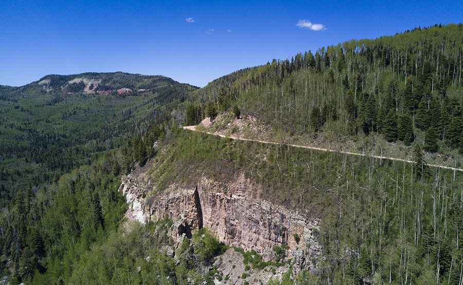
| Road facts: County Road 204 | |
|---|---|
| Location | La Plata County, Colorado (USA) |
| Max Elevation | 3,253 m (10,672 ft) |
| Length | 37.6 km (23.4 miles) |
| Surface | Mostly unpaved (Dirt and loose gravel) |
| Vehicle Required | High-clearance 4x4 |
How long is County Road 204?
Located in the southwestern part of Colorado, the road is 37.6 kilometers (23.4 miles) long, running south to north from the town of Durango to Sheephead Basin, where it ends.
Is County Road 204 unpaved?
Only the first 5.6 kilometers (3.5 miles) near Durango are paved. The remaining sector is a narrow dirt lane packed with many tight hairpin turns and steep gradients. A 4x4 vehicle is required.
Is County Road 204 open year-round?
Set high in the San Juan Mountains, the road climbs up to 3 mountain passes:
-Monument Hill, at an elevation of 3,253 m (10,672 ft) above sea level.
-Sliderock Mountain, at an elevation of 3.106m (10,190ft) above sea level.
-Cape Horn at an elevation of 3.031m (9,944ft) above the sea level.
The road is not plowed in winters. Heavy snow blocks the entire mountain route from late autumn until late spring. The weather can be unpredictable, and afternoon thunderstorms are common.
Pic: Merle Gleiforst