How to drive the unpaved road to Casita de Piedra Peak in New Mexico
Casita de Piedra Peak is a high mountain peak at an elevation of 3,061m (10,042ft) above sea level, located in Taos County, in the U.S. state of New Mexico. It’s one of the highest roads in New Mexico.
Where is Casita de Piedra Peak?
The peak is located near Capulin Peak, east of Taos, in northern New Mexico’s high desert.
Is the Road to Casita de Piedra Peak Unpaved?
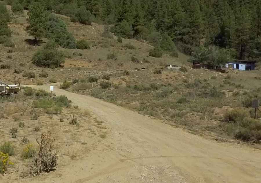
The logging road to the summit is completely unpaved and generally in rough condition. A 4x4 vehicle with high clearance is required.
How Long is the Road to Casita de Piedra Peak in New Mexico?
Starting from the paved US-64, the road to the summit is about 8 km (5 miles) long.
Is the Road to Casita de Piedra Peak in New Mexico open year-round?
Set high in the Sangre de Cristo Mountains, the road can become impassable after rain or snow.
Pic: New Mexico Tourism Department