How to drive the unpaved road to Treasure Hill in Nevada?
Treasure Hill is a high mountain peak at an elevation of 2,805m (9,202ft) above sea level located in White Pine County, in the US state of Nevada.
| Road facts: Treasure Hill | |
|---|---|
| Location | White Pine County, Nevada (USA) |
| Elevation | 2,805 m (9,202 ft) |
| Length | 2.7 miles (4.3 km) from Hamilton |
| Surface | Loose Limestone and Rocks |
How long is the road to Treasure Hill?
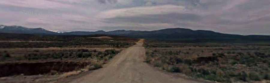
Starting from the ghost town of Hamilton, the road to the summit is 2.7 miles long. A 4x4 vehicle is required.
Is the road to Treasure Hill unpaved?
It’s an old mining road. The surface is composed of loose limestone, jagged rocks, and deep ruts that have been washed out over decades. The track is narrow, with almost no spots to pass or turn around once you start the final climb. Many sections are built over old mine tailings, which are unstable and can crumble under the weight of a heavy vehicle.
Is the road to Treasure Hill open year-round?
Set high in the White Pine Range, the road is impassable from November until May. The road is never plowed. During the spring melt, the limestone dust turns into a thick, slippery slurry that offers no grip.
When is the best time to drive to Treasure Hill?
The best time to attempt the drive is during the dry summer months, but you must watch for afternoon thunderstorms. Rain will turn the deep ruts into small rivers.