How to drive the unpaved road to Cat Peak in Utah
Cat Peak is a high mountain pass at an elevation of 2.976m (9,763ft) above sea level, located in Utah County, in the U.S. state of Utah.
Where is Cat Peak?
The summit is located west of Indian Head, in the northern part of Utah.
Is the road to Cat Peak unpaved?
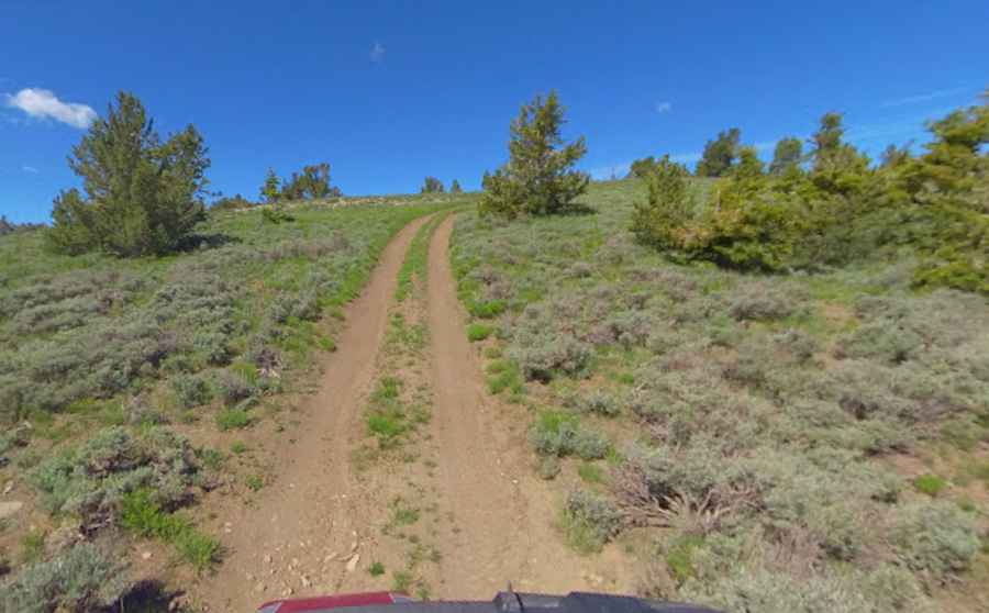
The track to the summit is a narrow, unpaved ridgeline road with a surface of loose gravel and embedded mountain rocks. It’s called It’s called E Indian Head Road. The shoulders are soft and unstable with no barriers or guardrails. When driving, avoid the deeper ruts and sharp stones that can easily cut through a tire's sidewall. The roadbed is dry and dusty.
How long is the road to Cat Peak?
Starting from the paved US-191, the road to the summit is 12.4 miles long. A 4x4 vehicle is required to reach the real summit.
Is the road to Cat Peak open year-round?
Set high north of Colton, the road is totally impassable in winters.
Pic: Shannon Bushman