How to drive the unpaved road to Cougar Peak in Oregon?
Cougar Peak is a high mountain peak at an elevation of 2,415m (7,923ft) above sea level, located in Lake County, in the US state of Oregon.
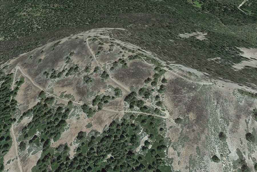
Where is Cougar Peak?
The peak is located within the Fremont-Winema National Forest, about 20 miles northwest of Lakeview.
Is the road to Cougar Peak unpaved?
The road to the summit is totally unpaved, a mix of gravel and dirt. It’s called NF-388 (National Forest Development Road 388). The surface is prone to severe washboard ripples. The track is narrow and often littered with fallen timber after windstorms. There are no guardrails, and the shoulders are soft, making it dangerous to get too close to the edge during passing maneuvers.
How long is the road to Cougar Peak?
Starting from the OR-140 junction, the road to the summit is 10.6-mile long, with 934 meters of elevation gain. The road is a steady climb with an average gradient of 5.46%, but several ramps are much steeper. Motorized access ends 0.1 miles past the Cottonwood Meadow Campground; the final stretch to the actual summit was closed to cars and turned into a trail, so the last part of the climb must be done on foot.
Is Cougar Peak accessible in winter?
At this elevation, the road is usually buried under snow in winters. The road is not plowed and remains impassable from November until late June. During the spring thaw, the dirt turns into a thick mud slurry that can trap even a 4x4. Sudden storms can bring down trees and block the road without warning.