Can I drive to the lookout at the summit of Hershberger Mountain in Oregon?
Hershberger Mountain is a high mountain peak at an elevation of 1,853m (6,079ft) above sea level, located in Douglas County, in the U.S. state of Oregon.
Where is Hershberger Mountain?
The peak is located north of Union Creek, in the southwestern part of Oregon.
Why is there a road to Hershberger Mountain?
At the summit, there’s a fire lookout that was built in 1925, served as an aircraft warning station during WWII, and was refurbished in the 1980s and 2012. Available for emergencies, it is listed on the National Historic Lookout Register.
Is the road to Hershberger Mountain unpaved?
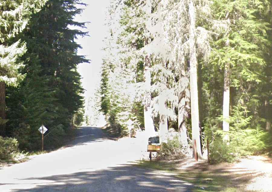
The rough forest service road to the summit is totally unpaved, rough, and potholed. Running through beautiful forests and meadows of wildflowers, a 4x4 vehicle is recommended, and high clearance is required. The last section of the road is very rough and not suitable for low-clearance cars. The road is quite steep and leans towards the drop off.
How long is the road to Hershberger Mountain?
Starting from the paved Highway 230 (Rogue-Umpqua Scenic Byway), the road to the summit is 18.02km (11.2 miles) long. Over this distance, the elevation gain is 771m, with an average gradient of 4.27%.
Is the road to Hershberger Mountain open year-round?
Set high in the Rogue River-Siskiyou National Forest, the road is not plowed in winter. Fair weather preferred as that the road is moondust that turns to mud after soaking rain.
Is Hershberger Mountain worth the drive?
The summit offers many miles of stunning views year-round of the Upper Rogue River, the Crater Lake rim, Mount Thielsen, Mount Bailey, and Mount McLoughlin.