How to drive the unpaved road to the lookout at Stonewall Mountain in Montana
Stonewall Mountain is a mountain peak at an elevation of 2.525m (8,284ft) above sea level, located in Lewis and Clark County, in the U.S. state of Montana.
Where is Stonewall Mountain?
The peak is located north of Lincoln, in the western part of Montana, within the Helena National Forest. The summit has great views of the surrounding mountains, including Red Mountain, the high point of Lewis and Clark County.
Why is there a road to Stonewall Mountain?
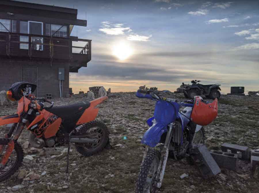
The summit hosts a fire lookout tower, established in 1945 and staffed until 1963. It is staffed in the summer.
Is the road to Stonewall Mountain unpaved?
The road to the summit is totally unpaved, pretty rocky and steep in spots. As the trail approaches the summit gets more and more narrow with close tree and rock clearances. The trail has lots of twists and bumps that add to the challenge.
How long is the road to Stonewall Mountain?
Starting at Lincoln, the road is 28.96km (18 miles) long. A 4x4 vehicle is required to get to the summit.
Is Stonewall Mountain open?
Set high in the Lewis Range, the road is seasonally closed in winters, and open from July through October.
Pic: Sean Connell