How to drive the mine road to Gibbs Peak in Colorado?
Gibbs Peak is a high mountain peak located on the boundary between La Plata and Montezuma counties in southwestern Colorado. While the summit sits higher, a minor gravel road situated on its eastern side tops out at an elevation of 3,507m (11,505ft) above sea level. This rugged mine road within the San Juan National Forest is a demanding 4x4 transit that requires precise vehicle placement and high-altitude experience.
| Road facts: Gibbs Peak (Bedrock Creek Road) | |
|---|---|
| Location | La Plata / Montezuma County, Colorado (USA) |
| Max Road Elevation | 3,507 m (11,505 ft) |
| Length | 6 km (3.7 miles) from CR 124 |
| Average Gradient | 11.75% |
| Technical Limit | Transition to trail at 3,352m (11,000 ft) |
Where is Gibbs Peak?
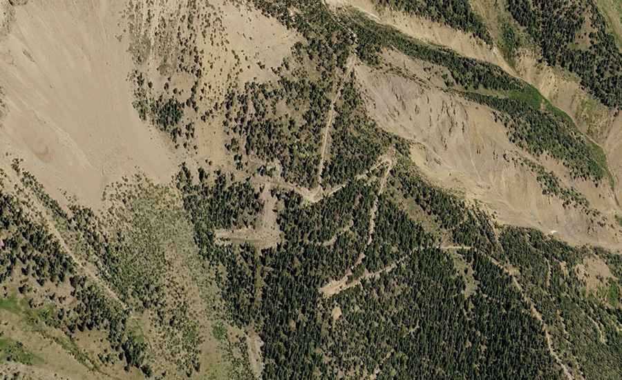
The peak is located northwest of Durango, situated in the southern La Plata Mountains of the San Juan Range. Logistically, the primary access follows the drainage of Bedrock Creek. Driving in this sector requires navigating a series of old mining tracks that offer extreme verticality and narrow roadbeds characteristic of the Colorado high country.
Is the road to Gibbs Peak unpaved?
Yes, the road to the high point is totally unpaved and officially classified as a rough 4WD road. Technically, a high-clearance 4x4 vehicle is mandatory beyond the initial stages. Passenger cars can only reach a parking area at 2,782m (9,130 ft) at the start of the road along Bedrock Creek. Beyond this point, the track features narrow sections, steep ramps, and sharp hairpin turns. At approximately 3,352m (11,000 ft), the roadbed eventually transitions into a narrow trail, marking the technical limit for motorized vehicles.
How long is the road to Gibbs Peak?
Starting from County Road 124, the road climbs for 6 km (3.7 miles). Over this distance, the elevation gain is a significant 705 meters, resulting in an average gradient of 11.75%. This sustained incline requires constant gear management and puts a high load on the vehicle's cooling system. Logistically, the road does not reach the actual summit, requiring drivers to park at the technical end of the road and proceed on foot.
When is the best time to drive the road to Gibbs Peak?
Set high in the San Juan Range, the road is typically impassable from late fall through late spring due to heavy snow accumulation. The optimal logistical window for a safe transit is between June and early November, depending on the annual snowpack. Safety protocols mandate checking local conditions before attempting the 6 km ascent, as late-season drifts can block the narrow hairpins well into the summer months.
What are the mechanical requirements for the 11.75% descent?
Technically, the 6 km descent back to the Bedrock Creek parking area requires the exclusive use of engine braking to prevent brake fade on the 11.75% average slope. The road's rough surface, combined with sharp rocks, demands tires with reinforced sidewalls. Logistically, it is highly advisable for drivers without specialized 4x4 equipment to park at the base of the road (9,130 ft) rather than risking mechanical failure or becoming high-centered on the steeper upper sections.