How to drive the 31 hairpins of the abandoned road to Diorite Peak?
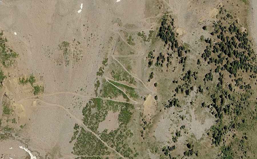
Diorite Peak is a high mountain peak located on the boundary of La Plata and Montezuma counties in southwestern Colorado. While the summit sits higher, a gravel road situated south of the peak tops out at an elevation of 3,583m (11,755ft) above sea level. This route, an abandoned wagon road within the San Juan National Forest, is one of the most technical and eroded tracks in the region.
| Road facts: Diorite Peak (Abandoned Wagon Road) | |
|---|---|
| Location | La Plata / Montezuma County, Colorado (USA) |
| Max Road Elevation | 3,583 m (11,755 ft) |
| Length | 4.5 km (2.8 miles) from CR 124 |
| Average Gradient | 14.53% |
| Technical Features | 31 hairpin turns / Eroded shelf road |
Where is Diorite Peak?
The peak is located northwest of Durango, in the southwestern part of Colorado, within the San Juan National Forest. Logistically, the route follows an ancient logging and mining corridor on the southern face of the mountain. Driving in this sector requires navigating a primitive two-track that sits on the geographical divide between the La Plata and Montezuma basins.
Is the road to Diorite Peak unpaved?
Yes, the road is totally unpaved and officially classified as an abandoned wagon road. Technically, a high-clearance 4WD vehicle is mandatory to negotiate the steep and rocky surface. The final sector of the climb is a narrow shelf road, severely eroded and mostly washed out by seasonal runoffs. Logistically, the lack of maintenance makes the roadbed extremely unstable, requiring advanced off-road skills to manage the rocky obstacles.
Where does the road to Diorite Peak end?
The rocky logging road ends abruptly in the midst of a series of tight switchbacks climbing the southern face of the mountain, below the summit. Technically, this dead-end logistical point at 3,583m offers no room for large vehicle maneuvers. Drivers must be prepared to reverse or turn around in extremely cramped conditions on a 14.53% slope.
How long is the road to Diorite Peak?
Starting from County Road 124, the road spans 4.5 km (2.8 miles). Over this distance, the elevation gain is 654 meters, resulting in a brutal average gradient of 14.53%. The drive is famous for its 31 hairpin turns, which demand constant steering input and precise traction control to maintain momentum on the steep, unpaved ramps.
Is the road to Diorite Peak open in winter?
No. Set high in the San Juan National Forest, the road is impassable during winter. Snow accumulation and severe erosion make the 31 hairpins dangerous well into the spring. Safety protocols mandate a strictly summer transit. Technically, the 4.5 km descent requires the exclusive use of engine braking to prevent brake fade, as the 14.53% average gradient puts an extreme thermal load on the vehicle's braking system.