Driving the Cherokee Orchard Road in Tennessee
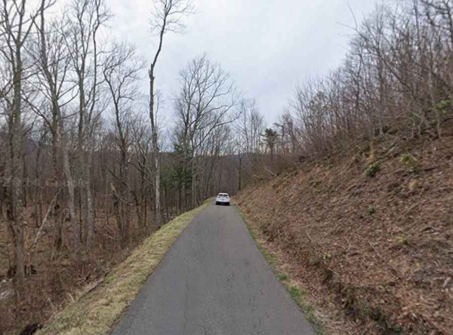
Cherokee Orchard Road serves as the vital logistical link between the urban grid of Gatlinburg and the high-density forest of the Great Smoky Mountains National Park. More than just an access route, this road is a steep mountain ascent that prepares the motorist for the technical demands of the Roaring Fork Motor Nature Trail. Driving this road requires managing a high volume of pedestrian traffic, narrow lane widths, and a continuous vertical incline that tests vehicle cooling systems from the moment you leave the city limits.
| Road facts: Cherokee Orchard Road | |
|---|---|
| Location | Gatlinburg to Great Smoky Mountains, TN |
| Elevation Gain | Significant vertical ascent from valley floor |
| Traffic Profile | Two-way asphalt; heavy trailhead congestion |
| Primary Hazards | Narrow shoulders, steep banking, and wildlife crossings |
What are the technical challenges of the Cherokee Orchard Road ascent?
The primary challenge when driving this road is the rapid transition in topography. As the asphalt leaves Gatlinburg, the gradient increases sharply, requiring sustained engine power and precise gear selection. The road remains two-way for most of its length, but the effective driving surface is narrowed by vehicles parked near major trailheads like Rainbow Falls. Navigating these sections requires professional situational awareness to avoid collisions with hikers and slow-moving traffic looking for parking in high-saturation zones.
Why is logistics planning critical at the Noah "Bud" Ogle hub?
The Noah "Bud" Ogle Cabin area acts as a natural staging point along Cherokee Orchard Road. This historical site is where many drivers perform a final mechanical check before the road narrows further and eventually feeds into the one-way Roaring Fork Motor Nature Trail loop. Ensuring that your vehicle's thermal levels are stable after the initial climb is essential. It is also the last opportunity for larger vehicles to evaluate if they meet the strict size restrictions enforced on the subsequent miles of the mountain circuit.
How to manage safety when driving through high-density forest corridors?
Visibility on Cherokee Orchard Road can be compromised by the dense canopy and frequent mountain mist. When driving the road, motorists must account for:
- Wildlife Activity: Black bears and elk are frequently reported on the road shoulders, leading to sudden traffic stops.
- Braking Logistics: The descent back toward the city requires disciplined engine braking to prevent brake fade on the steep, winding sections.
- Surface Integrity: Constant shade means the asphalt often remains damp, increasing the risk of reduced traction in the banking turns.
Conclusion: The Gateway to the Smoky Mountains Road Network
Mastering the Cherokee Orchard Road is a mandatory step for any professional driver heading into the Tennessee wilderness. It is a road that demands respect for its steep inclines and crowded lanes, serving as the ultimate test before entering the technical loop of the Roaring Fork. By maintaining a controlled velocity and a high level of situational awareness, you ensure a safe transit through this iconic mountain corridor. Prepare your vehicle, monitor the traffic flow, and master the ascent.