How difficult is the unpaved road to Jack Mountain in Montana?
Jack Mountain is a high mountain summit reaching an elevation of 2,667m (8,750ft) above sea level in Jefferson County, Montana. Tucked away south of Helena, the state capital, the peak sits within the massive Beaverhead-Deerlodge National Forest. The road to the top is a primitive and abandoned fire lookout track that has not seen regular maintenance for years, turning a 21-kilometer climb into a brutal test of suspension and tire grip in the heart of the Montana wilderness.
| Road facts: Jack Mountain | |
|---|---|
| Location | Jefferson County, Montana (USA) |
| Elevation | 2,667 m (8,750 ft) |
| Length | 21 km (13 miles) from Basin |
| Max Gradient | 12% |
| Surface | Unpaved / Rocky / Not maintained |
How long is the road to Jack Mountain from Basin?
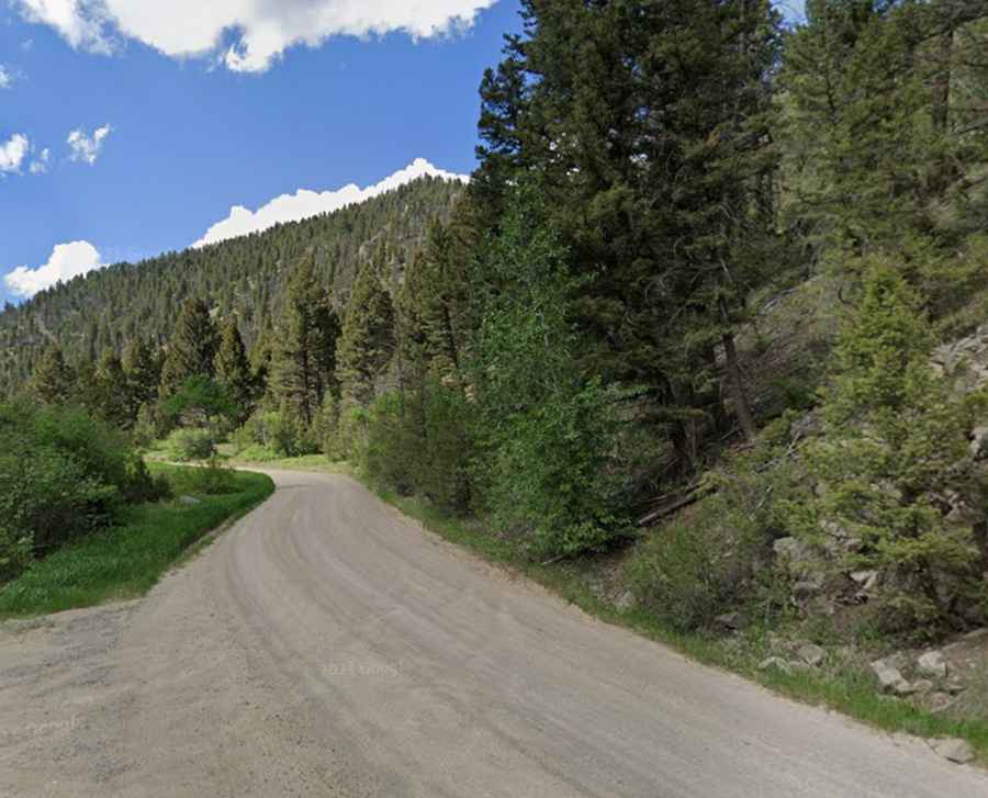
The journey to the summit starts in the small town of Basin and covers 21 km (13 miles) of relentless climbing. As you leave the valley floor, the track quickly transitions from a standard forest path into a rough, unpaved strip of earth and rock. The 21-kilometer haul is slow and demanding, winding through dense timber before reaching the exposed and rocky ridges near the peak. Because the Jack Mountain lookout tower was decommissioned and removed in 2011, the road has lost its primary purpose, and you should expect deep ruts, fallen trees, and washouts that can high-center a vehicle in seconds.
What are the main hazards on the Jack Mountain road?
The climb to Jack Mountain is defined by 18 hairpin turns and steep sections that reach a maximum gradient of 12% as you approach the summit. These tight bends are often covered in loose scree, making it easy for tires to lose traction during the ascent. A high-clearance 4x4 vehicle is mandatory; standard SUVs will struggle with the clearance needed to navigate the rocky steps and the deep "V" ruts carved by mountain runoff. The road is narrow and offers no protection against the long drops from the ridge, meaning any mechanical failure on the 12% ramps leaves you in a very precarious position with nowhere to turn around.
Is the road to Jack Mountain open during the winter?
Set high in the central part of Montana, the road to Jack Mountain is completely impassable for most of the year. Heavy snow typically buries the 2,667m summit from late October until June, making the 18 hairpin turns a lethal trap of ice and deep drifts. Even in the summer months, mountain storms can turn the dry dirt into a slick, muddy slurry in minutes. If you are driving this route between July and September, you must check the local Jefferson County forecasts; once you hit the 12% gradients near the top, a sudden downpour makes the descent back to Basin a dangerous slide down a rocky mountain face.
Why is a 4x4 mandatory for the Jack Mountain climb?
Attempting Jack Mountain in a 2WD vehicle is a recipe for disaster. The combination of the 12% incline and the loose, unmaintained surface requires a low-range gearbox to keep the engine from overheating while maintaining steady momentum. At an elevation of over 2,600 meters, your engine will lose a significant amount of power, and you’ll need every bit of torque to clear the rocky obstacles near the summit. There is zero cell service once you deep-dive into the Beaverhead-Deerlodge National Forest, so you must carry a full recovery kit, extra water, and a way to signal for help if the mountain’s primitive tracks claim your vehicle.