How to drive the Three Forks Road of Arizona?
Three Forks Road is a stunning drive with awesome views of streams, forest, and meadows, located in Apache County, in the U.S. state of Arizona. It’s one of the highest roads in Arizona.
Where is Three Forks Road?
The road is located in the northeastern part of Arizona, near the border with New Mexico, within the Apache-Sitgreaves National Forest.
Is Three Forks Road paved?
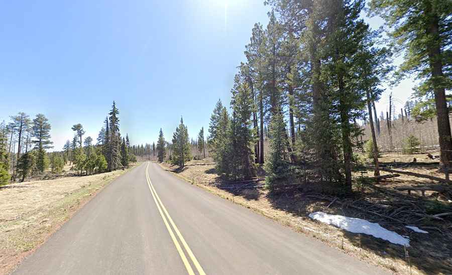
This curvy road is fully paved and suitable for all vehicles under normal conditions. The road quality is generally good. It comprises lots of twisties as it winds its way along a forest stream. The pavement is perfect as it was paved in 2014. Before that, it was a dirt road until the U.S. Forest Service paved it.
How long is Three Forks Road?
The road is 19 miles (30 km) long, running west–east via Three Forks, from the junction of Arizona State Route 273 and Arizona State Route 261, to Alpine. It provides access to Big Lake Knoll, a high mountain peak at an elevation of 2.870 m (9,415 ft) above sea level.
Is Three Forks Road open?
Set high in the White Mountains, the road tops out at 2.774 m (9,101 ft) above sea level. It is a seasonal road, closed during winter months.
What makes Three Forks Road unique?
The road passes through an area of the National Forest that was heavily affected by a forest fire in 2011. Travelers can witness the striking contrast between scorched yet surviving trees and large expanses of burned, lifeless forest. This section offers a rare perspective on both the destruction caused by wildfire and the forest's natural regeneration over the years.