How to drive the unpaved road to Pennellen Pass in Utah?
Pennellen Pass is a high mountain pass at an elevation of 2,411m (7,910ft) above sea level, located in eastern Garfield County, in the US state of Utah.
Where is Pennellen Pass?
The pass is located east of Capitol Reef National Park in the southern part of Utah. Cell service is unreliable. With the exception of certain areas traveled by miners and a few ranchers, the Henry Mountains are largely unexplored. The terrain is managed by the Bureau of Land Management (BLM), but you will rarely see patrolling officials or other explorers in the area. The pass is located between Mt. Ellen and Mt. Pennell, two of the area’s most well-known peaks.
Is Pennellen Pass unpaved?
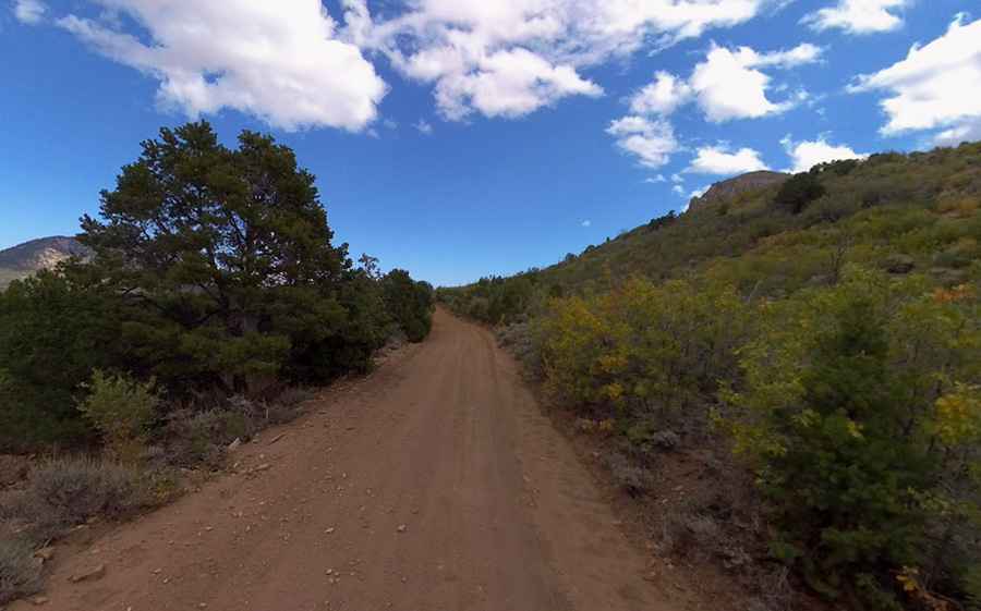
The road through the pass is totally unpaved, and a 4x4 vehicle is required. It’s called The Horn Road. It is generally steep, rocky, and narrow. Be prepared for such conditions. Good quality tires are a necessity on the rough and rocky road, as is a vehicle in good condition. The road may become impassable when wet. Avoid the area during electrical storms and avoid high ridges and exposed areas.
Is Pennellen Pass worth the drive?
The drive offers outstanding scenic vistas of the lower deserts. The region is very rugged and dry. Carry extra water regardless of your planned length of stay. Be sure your vehicle is in good working condition.
Pic: Shannon Bushman