How to Get by Car to the Lookout at the Summit of Whitmore Mountain in Washington?
Whitmore Mountain is a mountain peak at an elevation of 1,201m (3,940ft) above sea level, located in Okanogan County, in the U.S. state of Washington.
Where is Whitmore Mountain?
The peak is located in the north-central part of Washington, on the southwestern side of the Colville Indian Reservation.
What's at the Summit of Whitmore Mountain?
The summit hosts a fire lookout tower that is staffed every summer. You can enjoy great views of the Coulee area, Omak Lake, and the North Cascades.
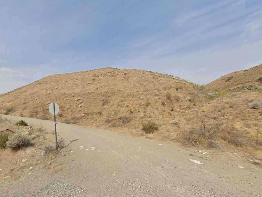
Is the Road to Whitmore Mountain Unpaved?
The road to the summit is totally unpaved. It has some rough spots up high. Road conditions can vary dramatically year to year, and the clay is known to be incredibly slick in wet conditions. Definitely take a high-clearance 4×4 and a map.
How Long Is the Road to Whitmore Mountain?
The road to the summit is 16.9km (10.50 miles) long, starting from the paved Columbia River Road. Remember it is totally closed in winters.