How long is the unpaved road to Leidy Peak in Utah?
Leidy Peak is a mountain peak at an elevation of 3,361 meters above sea level, located in Uintah County, Utah. The track to the top is one of the highest roads in Utah, crossing the Uintah Range through a landscape of loose rocks and thick forest.
| Road facts: Leidy Peak | |
|---|---|
| Location | Uintah County, Utah (USA) |
| Elevation | 3,361 m (11,026 ft) |
| Length | 39.63 km (24.63 miles) |
| Surface | Dirt / Loose rocks |
How long is the dirt road to Leidy Peak?
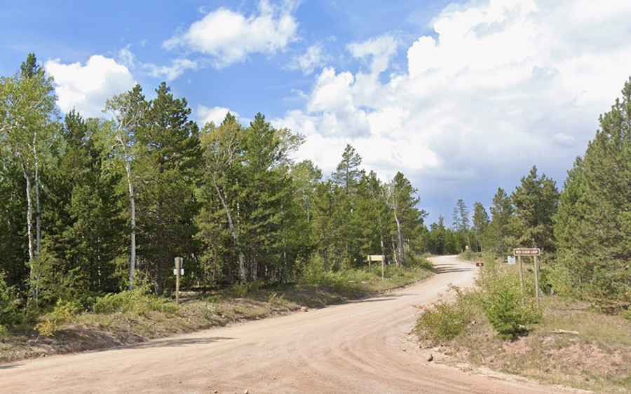
The road starts at the paved US-191 and from there you face nearly 40 kilometers of dirt and rocks. The path follows the Red Cloud Loop (Forest Road 043). It is a slow drive where the car never stops shaking. Once you pass the turn-off to Hacking Lake, the track gets much wilder, with deep ruts and stones stuck in the ground that can easily hit the underbody of the car.
Can I drive to Leidy Peak in a normal car?
Don't even try. You need a real high-clearance 4x4. The ground is a mix of loose gravel and rocks that cut like knives; it's very easy to blow a tire up here. Also, at 3,361 meters, the engine loses a lot of power because it doesn't have enough air. If you stop on a loose rock ramp, you'll have a hard time starting again without the wheels digging a hole in the ground. There are very narrow sections where there is no room to pass anyone and the cliff is right next to the wheel.
How remote is the road to Leidy Peak?
The main problem is that you are alone. It's 40 kilometers with no cell coverage, no water, and no gas. If you have a breakdown or run out of brakes going down, you have nowhere to go. It is mandatory to carry a full-size spare tire (no donuts) and tools to get the car out if it gets stuck in a washout.
When is the Leidy Peak road open?
You can only go up in summer, usually from late June to September. The rest of the year snow covers the path completely and no one clears it. Even in July, if you see a storm building, get out of there fast.