How difficult is the high-altitude 4x4 road to Leidy Peak in Utah?
Leidy Peak is a massive mountain summit reaching an elevation of 3,361m (11,026ft) above sea level in Uintah County, Utah. Located in the northeastern corner of the state, near the eastern end of the rugged Uintah Mountain Range, the track to the top is one of the highest mountain roads of Utah. This is a primitive, high-altitude journey where the smooth asphalt of the valley is replaced by a grueling 40-kilometer stretch of gravel and rock that will test your vehicle's cooling system and your patience.
| Road facts: Leidy Peak | |
|---|---|
| Location | Uintah County, Utah (USA) |
| Elevation | 3,361 m (11,026 ft) |
| Length | 39.63 km (24.63 miles) from US-191 |
| Surface | Unpaved / Gravel / Rocky |
| Vehicle Required | High-clearance 4x4 mandatory |
How long is the unpaved road to Leidy Peak from US-191?
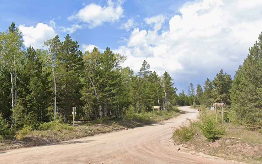
The journey to Leidy Peak starts from the paved US-191, north of Vernal, and spans 39.63 km (24.63 miles) of increasingly difficult terrain. You will be driving on Forest Road 043, famously known as the Red Cloud Loop. This is a slow-motion drive where the dust kicked up by your tires can hide sharp rocks that are notorious for shredding sidewalls. The track winds through deep forests and open alpine ridges until you reach the critical junction with the road to Hacking Lake. From this point, the final climb toward the 3,361m mark becomes even more primitive, requiring full concentration to avoid the deep ruts that can easily high-center a standard vehicle.
What are the road conditions on the Leidy Peak track?
The road to Leidy Peak is entirely unpaved and offers zero margin for error. As you leave the Red Cloud Loop and head toward the summit trailhead, the surface becomes a mix of loose gravel and embedded boulders. A high-clearance 4x4 is not just a suggestion; it is a necessity to clear the rocky steps and washouts that define the upper sections. At over 3,300 meters, your engine will lose roughly 30% of its torque due to the lack of oxygen. Keeping a steady momentum is vital, as restarting a climb on these loose, high-altitude ramps can cause your tires to dig into the soft earth, leaving you stranded far from any help.
Is the road to Leidy Peak open during the winter?
Due to its extreme elevation near the Uintah summit, the road is completely buried under deep snow for most of the year. It is strictly seasonal, typically opening only in late June or early July once the snowpack has finally melted. The window for driving is short; the first big snowstorm of the season, which often hits between mid-September and mid-October, will shut the road down until the following year. Even in the height of summer, sudden afternoon thunderstorms can turn the dry gravel into a lethal slurry of mud. If you see clouds building over the peak, you must descend immediately, as the 39 km return trip to the pavement becomes dangerously slick when wet.
What are the main hazards for drivers on Leidy Peak?
The biggest threat on the road to Leidy Peak is its isolation combined with the unpredictable mountain weather. There is no cell service, no water, and no fuel for nearly 40 kilometers in any direction. You must carry at least one full-sized spare tire and a basic recovery kit. The altitude itself is a hazard; Acute Mountain Sickness can affect drivers who aren't acclimatized, leading to slower reaction times on the narrow shelf road sections. Make sure your cooling system is in perfect shape before starting the climb, as the long, low-gear haul in the thin air will put an incredible amount of stress on your radiator and transmission.