Driving the scenic MT-278 Road through the mountains of Montana
Montana State Highway 278 (MT-278) is a very scenic road, running through the mountains of Beaverhead County, in the U.S. state of Montana.
Where is MT-278 Road?
The road is located in the southwestern part of Montana, not far from the Idaho border. It was officially formed in 1945.
Is MT-278 paved?
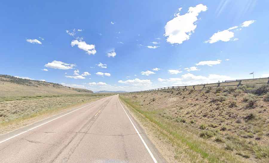
The road is totally paved in good condition from beginning to end. As such, the road is friendly to passenger cars, motorcycles, bicycles, and vehicles with trailers. The drive is steep, hitting a 9% maximum gradient through some of the ramps.
How long is MT-278?
The road is 97 km (61 miles) long, running north-southeast from MT 43 in Wisdom to I-15/S-222 in Dillon (the county seat of Beaverhead County).
Is MT-278 a mountain road?
Running through the Pioneer Mountain Range, the road climbs up to Badger Pass, a mountain pass at 2,063 m (6,768 ft) above sea level, and Big Hole Pass, the highest point of the road at 2,256 m (7,401 ft) above sea level.