Driving the high mountain MT-569 Road in Anaconda
MT-569 is a high mountain road located in Deer Lodge County, in the U.S. state of Montana.
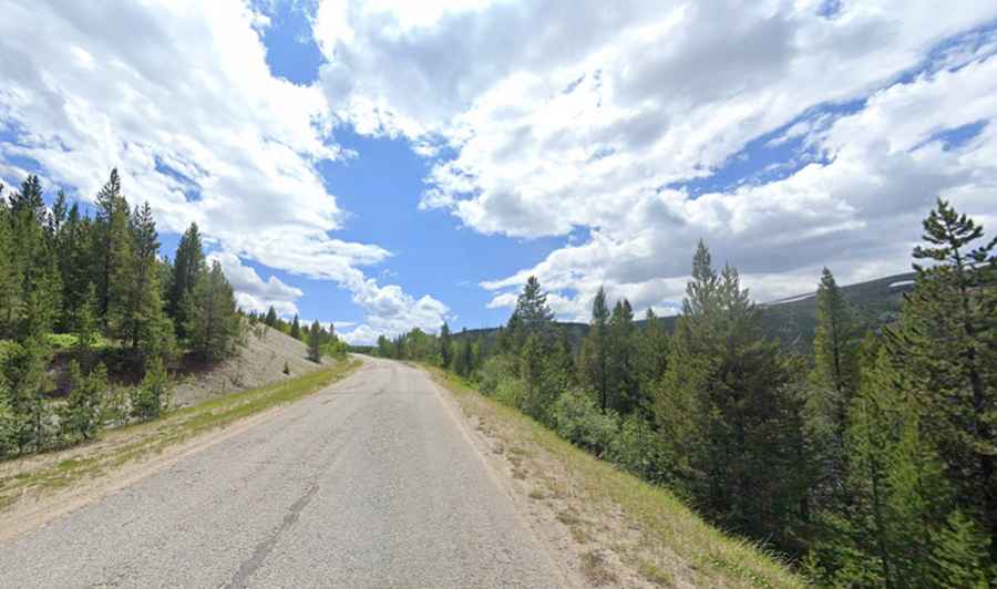
Is MT-569 road in Anaconda paved?
The road is located in the southern part of Montana. It’s paved (barely) and comprises narrow parts and steep sections, hitting a 7% grade through some of the ramps.
How long is MT-569 road in Anaconda?
It’s 35 km (22.0 miles) long, running north-south from Pintler Veterans' Memorial Scenic Highway, part of Montana State Highway 1 (MT 1), near Anaconda, one of Montana's most historic towns and the county seat of Deer Lodge County, to MT-43 Road.
Is MT-569 road in Anaconda open in winter?
The road, also known as Deep Creek Road and Mill Creek Road, tops out at 2,060m (6,758ft) above sea level. It is typically open all year round but short-term closures are not uncommon in winters. It provides access to Miller Lake, a high mountain lake at an elevation of 2,571m (8,435ft) above sea level.