Why the Volcanic Legacy Scenic Byway Might Be America’s Best Hidden Drive
The Volcanic Legacy Scenic Byway is a designated All-American Road in the U.S. states of California and Oregon. Spanning approximately 500 miles (800 km), it follows the Cascade Range and passes numerous volcanic sites, including Crater Lake National Park, Mount Shasta, and Lassen Volcanic National Park. The route is recognized for its geological significance and connects a range of natural and cultural landmarks.
What is the history of the Volcanic Legacy Scenic Byway?
The creation of the Volcanic Legacy Scenic Byway was part of a broader initiative to promote America's most significant and scenic roadways. The concept emerged in the late 20th century as part of the National Scenic Byways Program, with the route earning the All-American Road designation due to its geological, historical, and recreational importance. It was developed to link volcanic features and historic towns shaped by events such as the California Gold Rush. The byway includes roads that existed long before the designation, many of which were built to support mining, ranching, and logging industries.
Where does the Volcanic Legacy Scenic Byway start and end?
The southern end of the byway begins near Mineral, California, close to Lake Almanor and Lassen Volcanic National Park. It travels north through northeastern California and southern Oregon, ending at Crater Lake National Park. The route is not completely linear and includes various loops and alternate segments depending on the season.
How long is the Volcanic Legacy Scenic Byway?
The byway is approximately 500 miles (800 kilometers) long. It is divided into ten sections covering areas such as Lassen Volcanic National Park, Lava Beds National Monument, Tule Lake National Monument, Medicine Lake, and Crater Lake National Park. It connects with state highways, local roads, and scenic loops.
Is the Volcanic Legacy Scenic Byway paved?
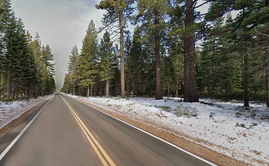
Yes, the entire route is paved. Some sections may be narrow or winding, particularly in mountainous or forested areas, but it is accessible to all types of vehicles.
Is the Volcanic Legacy Scenic Byway worth the drive?
The byway is a designated All-American Road, a status given to routes with notable scenic, historic, or cultural qualities. It passes through a variety of landscapes and connects significant volcanic and historic sites in California and Oregon.
Is the Volcanic Legacy Scenic Byway open in winter?
Certain segments of the byway are subject to seasonal closures due to snow, especially in higher elevations. For example, Rim Drive in Crater Lake National Park is typically only open from July to October. During other months, alternate routes such as the west rim may remain open, but full access is limited.
What can be seen along the Volcanic Legacy Scenic Byway?
Notable sites include Lassen Volcanic National Park, Mount Shasta, Lava Beds National Monument, McArthur-Burney Falls Memorial State Park, and Crater Lake National Park. The route also passes through national forests, wildlife refuges, and small towns. The landscape includes volcanic peaks, lava flows, caves, wetlands, and lakes formed by past eruptions.
How can visitors plan a trip along the Volcanic Legacy Scenic Byway?
Travelers can start their journey at any point along the route. The closest commercial airports are in Redding, California, and Medford, Oregon. Visitor centers and welcome centers along the byway provide maps, brochures, and travel information. These include the California Welcome Center in Anderson, Discover Klamath in Klamath Falls, and others located near major stops along the route.
Are there any special driving directions?
One suggested direction is to begin at Diamond Lake Junction in Oregon and travel south. From there, drivers can take OR 138 to Crater Lake National Park, exit via the south entrance, and continue along OR 62. Additional segments include West Side Road through the Fremont-Winema National Forest and US 97 into California. From the California border, travelers can connect with Highway 44 and other routes leading to Lassen Volcanic National Park and surrounding areas.
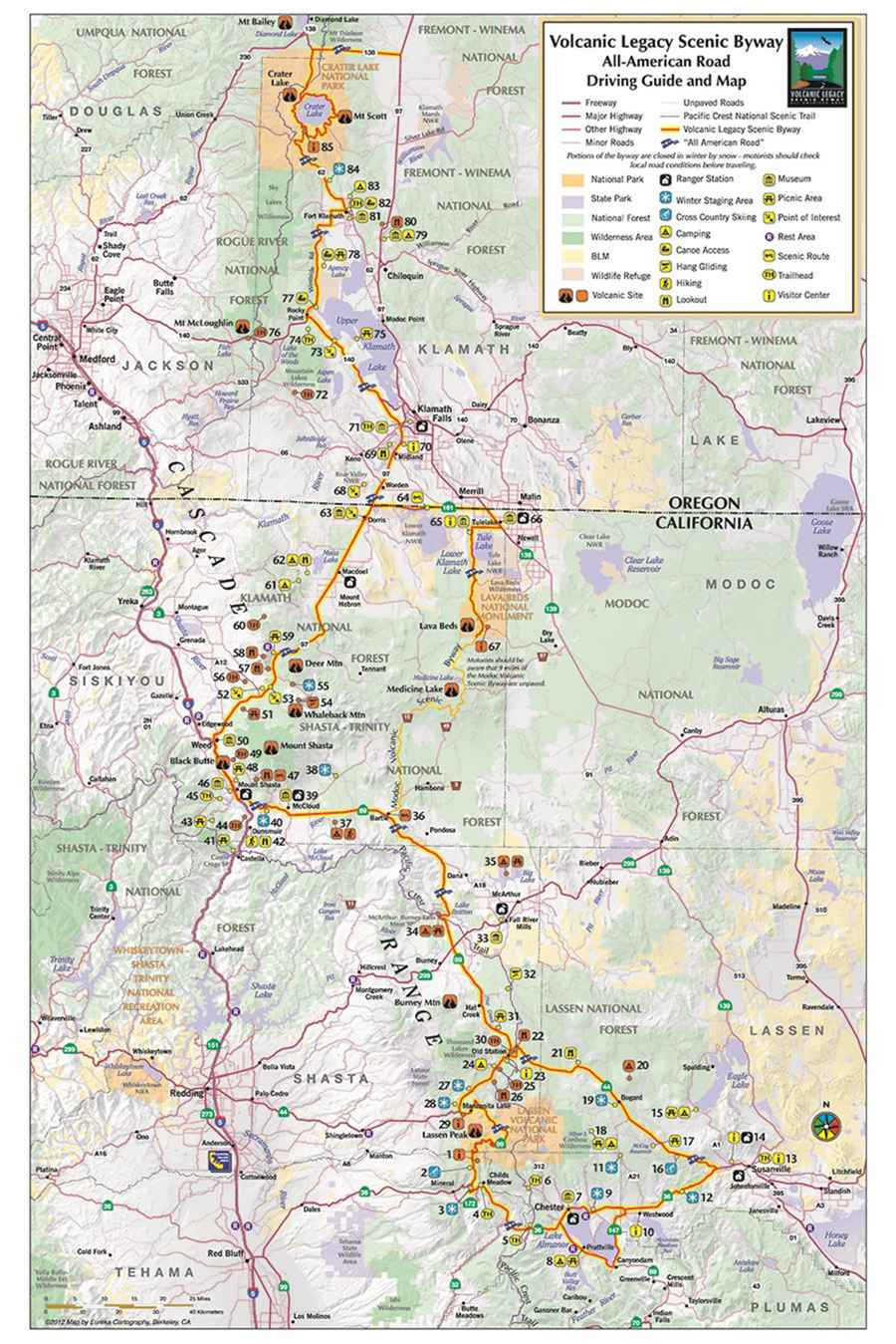
Map: VLSB.org