From Expedition Routes to Asphalt: Lewis and Clark's Mountain Pass Discoveries
The Lewis and Clark Expedition played a crucial role in the exploration of the American West. This text examines the expedition's context, its key figures, and its lasting impact on the development of overland travel routes, specifically in relation to several mountain passes that are utilized by modern roads.

Who Were Lewis and Clark?
The Lewis and Clark Expedition was led by two key figures: Captain Meriwether Lewis and Second Lieutenant William Clark. Meriwether Lewis (1774-1809) was an American explorer, soldier, and public administrator. He was personally selected by President Thomas Jefferson to lead the expedition. William Clark (1770-1838) was also an American explorer, soldier, Indian agent, and territorial governor. He was invited by Lewis to co-lead the expedition and brought valuable skills in cartography and river navigation. Together, they were responsible for the planning, leadership, and documentation of the Corps of Discovery's journey.
What Were They Doing?
The primary mission of the Lewis and Clark Expedition, commissioned by President Thomas Jefferson, was to explore the newly acquired Louisiana Purchase and the territory extending to the Pacific Ocean. Their objectives included finding a practical water route across the continent for commerce, asserting American sovereignty over the territory, studying the natural resources (flora, fauna, and geography), and establishing diplomatic and trade relations with the Native American tribes encountered along their route. The expedition aimed to provide the United States with a comprehensive understanding of this vast and largely unknown western expanse.
Lewis and Clark: Pioneering Routes That Became Today's Mountain Roads
The Lewis and Clark Expedition (1804-1806) explored the American West, documenting potential travel routes. While not road builders, their identified paths through mountain ranges sometimes correspond to modern roads.
Lolo Pass, on the Montana-Idaho border, was traversed by the expedition in 1805. Their route, following Native American trails, demonstrated a viable passage through the Bitterroot Mountains. U.S. Highway 12 now crosses Lolo Pass.
Lemhi Pass, also on the Montana-Idaho border, was reached by Meriwether Lewis in 1805. The unpaved Lemhi Pass Road currently provides access to Lemhi Pass along a generally similar route.
Gibbons Pass, between Beaverhead and Ravalli counties in Montana, was crossed by William Clark in 1806. The Bitterroot-Big Hole Road (Forest Road 106) now goes over Gibbons Pass.
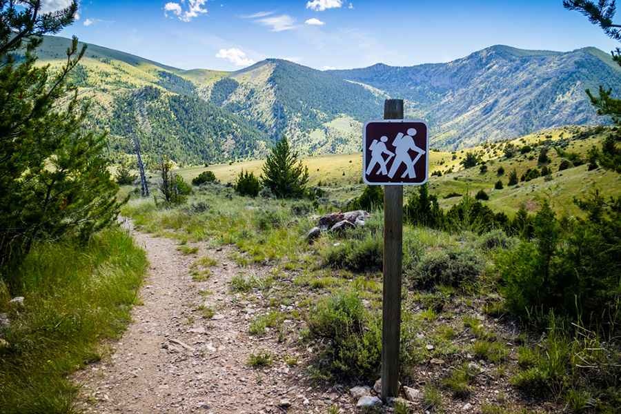
Lewis and Clark Pass in Montana was crossed by Meriwether Lewis in 1806. The pass itself, located in the Helena National Forest, is primarily accessed via a hiking trail. While parts of the general route Lewis took through the region are paralleled by Montana Highway 200, the pass itself remains largely undeveloped.