McMillan Peak: Driving the Steep 4x4 Road in the San Juan Mountains
Located in San Juan County, Colorado, McMillan Peak is a high mountain summit reaching an elevation of 3,587m (11,768ft) above sea level. Situated in the heart of the San Juan Mountains, the peak is known for its steep access road and the prominent telecommunications antenna located near the summit.
| Road facts: McMillan Peak | |
|---|---|
| Location | San Juan County, Colorado, USA |
| Elevation | 3,587 m (11,768 ft) |
| Distance | 3.2 km (1.98 miles) |
| Avg Gradient | ~14% |
Where is McMillan Peak in Colorado?
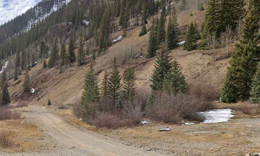
The peak is situated just north of Silverton, in the southwestern corner of Colorado. It sits near the Million Dollar Highway (U.S. Route 550), one of the most famous mountain drives in the United States. The access road to McMillan Peak is a rugged spur that climbs quickly from the valley floor, offering views of the surrounding Red Mountains and the historic mining district.
How long is the road to McMillan Peak?
The drive to the summit is 3.2 km (1.98 miles) long, starting from the unpaved State Highway 110 (near Gladstone). Over this short distance, the road gains 447 meters in elevation. This results in an average gradient of approximately 14%, with some sections being much steeper. The road is a dedicated service track for the antenna at the top and is entirely unpaved, consisting of loose gravel, dirt, and rocky segments.
Is a 4WD vehicle required for McMillan Peak?
Yes, a high-clearance 4WD vehicle is mandatory. The road is not suitable for AWD crossovers or standard passenger cars. The steepness of the ramps requires low-range gearing to maintain traction on the loose surface and to manage engine braking during the descent. The track is narrow and lacks guardrails, meaning drivers must be comfortable with high-altitude mountain shelf roads. Sharp rocks on the trail can also pose a risk for standard tires.
Is the road to McMillan Peak open in winter?
Due to its high elevation in the San Juan Mountains, the road is seasonal. It is typically only clear of snow from late June through mid-September. During the rest of the year, the track is buried under deep snow and is subject to significant avalanche risk. Even in early summer, large snowbanks can block the upper sections. Travelers should always check local conditions in Silverton before attempting the climb.
What should I keep in mind before driving to the summit?
The primary hazards are the extreme steepness and rapid weather changes. High-altitude thunderstorms are common in the afternoons, which can turn the dry dirt into a slippery mud surface in minutes. There is no mobile phone service in this remote area, so you must be self-sufficient. Ensure your cooling system and brakes are in perfect condition before starting the 14% climb, as the thin air at nearly 12,000 feet makes engine cooling less efficient.