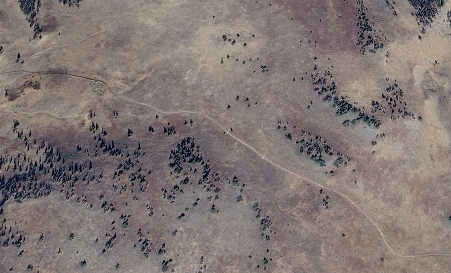
Driving the 4x4 road to Bonito Mountain in Colorado
Bonito Mountain is a high mountain peak at an elevation of 3,673 m (12,050 ft) above sea level, located in Rio Grande County, in the U.S. state of Colorado. It stands as one of the highest roads in Colorado, offering a true high-alpine driving experience.
The mountain is situated in the South-Central region of the state, within the vast Rio Grande National Forest. This area is part of the eastern San Juan Mountains, a range known for its dramatic volcanic history and rich mining heritage. Driving to the summit of Bonito Mountain provides panoramic views of the surrounding peaks and the historic Summitville mining district, one of the highest and most remote gold mining camps in Colorado history.
| Road facts: Bonito Mountain | |
|---|---|
| Location | Rio Grande County, Colorado (USA) |
| Elevation | 3,673 m (12,050 ft) |
| Length | 7 km (4.34 miles) |
| Surface | Unpaved / Rough Gravel |
| Best Time to Visit | Late June to Mid-September |
How Long is the Road to Bonito Mountain in Colorado?
The road to the summit is a challenging, unpaved 4x4 track. It is approximately 7 km (4.34 miles) long, running west-east starting from the junction at Indiana Pass and connecting with the USFS-334 road. The trail consists of loose rocks, narrow sections, and some steep climbs that require a high-clearance 4WD vehicle. While the distance is short, the technical nature of the terrain and the altitude make it a slow and demanding drive for any off-road enthusiast.
Is the Road to Bonito Mountain in Colorado Open in Winter?
Due to its extreme elevation in the San Juan Mountains, the road is usually impassable during the winter months. Heavy snow accumulations often block the route from late autumn until early summer. The typical window for a successful drive to the top is from late June through mid-September, though high-altitude summer storms can bring sudden snow or sleet at any time. It is essential to check local forest service conditions before heading out, as the road is not maintained for winter travel and remains one of the most weather-dependent routes north of Jasper.