Driving the NF-388 to Cougar Peak in Oregon
Cougar Peak is a high mountain peak at an elevation of 2,415 m (7,923 ft) above sea level, located in Lake County, in the U.S. state of Oregon. Situated within the rugged Fremont-Winema National Forest, it is one of the prominent summits in the southern part of the state.
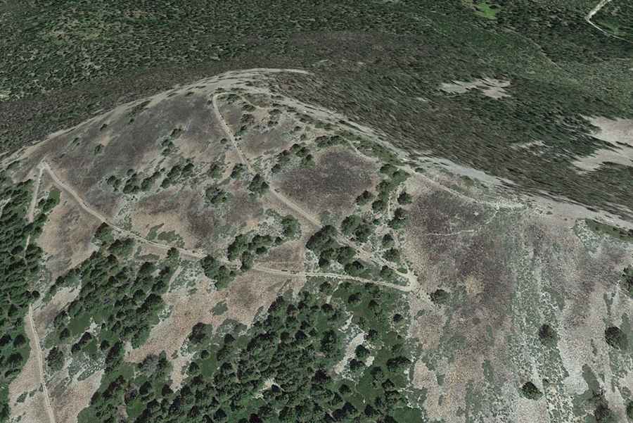
The peak is located approximately 20 miles northwest of Lakeview. The summit holds historical significance as it once hosted a fire lookout tower built in 1923, which served as a vital watchpoint for the forest service until its destruction in 1972. Today, the area is prized for its panoramic views that stretch across the vast pine forests and high desert basins of Southern Oregon.
| Road facts: Cougar Peak | |
|---|---|
| Location | Lake County, Oregon (USA) |
| Elevation | 2,415 m (7,923 ft) |
| Road Name | NF-388 (National Forest Dev. Road) |
| Length | 17.1 km (10.62 miles) |
| Elevation Gain | 934 m |
| Average Gradient | 5.46% |
Is the road to Cougar Peak unpaved?
The journey to the summit is a classic Oregon backcountry experience. The route is totally unpaved, following the National Forest Development Road 388 (NF-388). The road surface consists of gravel and dirt, winding through dense stands of Ponderosa pine. While much of the drive is accessible during the dry summer months, travelers should note that approximately 0.1 miles beyond the Cottonwood Meadow Campground, the final stretch to the summit has been officially closed to motorized vehicles and converted into a non-motorized trail. This means the last push to the very top must be completed on foot or by mountain bike.
How long is the drive to Cougar Peak?
Starting from the junction with the paved OR-140 (Warner Highway), the road to the summit area is 17.1 km (10.62 miles) long. Over this distance, drivers tackle a significant elevation gain of 934 meters, maintaining an average gradient of 5.46%. The drive is relatively steady but requires caution due to washboard sections and potential fallen timber. Because of its elevation, the NF-388 is typically snow-free from late June through October. This route offers a peaceful escape into the high country, with the nearby Cottonwood Meadow Lake providing an excellent spot for camping and fishing before or after the ascent.