Cedar Mountain Road: Driving the high-desert plateau in Utah
Cedar Mountain is a high-altitude desert plateau reaching an elevation of 2,339m (7,673ft) above sea level in Emery County, Utah. Located in the central-eastern part of the state, the summit is accessed via the Cedar Mountain Road, a sustained unpaved transit that crosses the Cedar Mountain Recreation Area. This is a journey defined by its vast scale and the technical demand of maintaining a steady pace over 21 miles of gravel and silt, where the exposure to the elements and the isolation of the San Rafael Swell region dictate the driving rules.
| Road facts: Cedar Mountain | |
|---|---|
| Location | Emery County, Utah (USA) |
| Max Elevation | 2,339m (7,673ft) |
| Length | 21 miles (33.8 km) |
| Surface | Unpaved / Gravel / Silt |
How challenging is the 21-mile climb from Cleveland to Cedar Mountain?
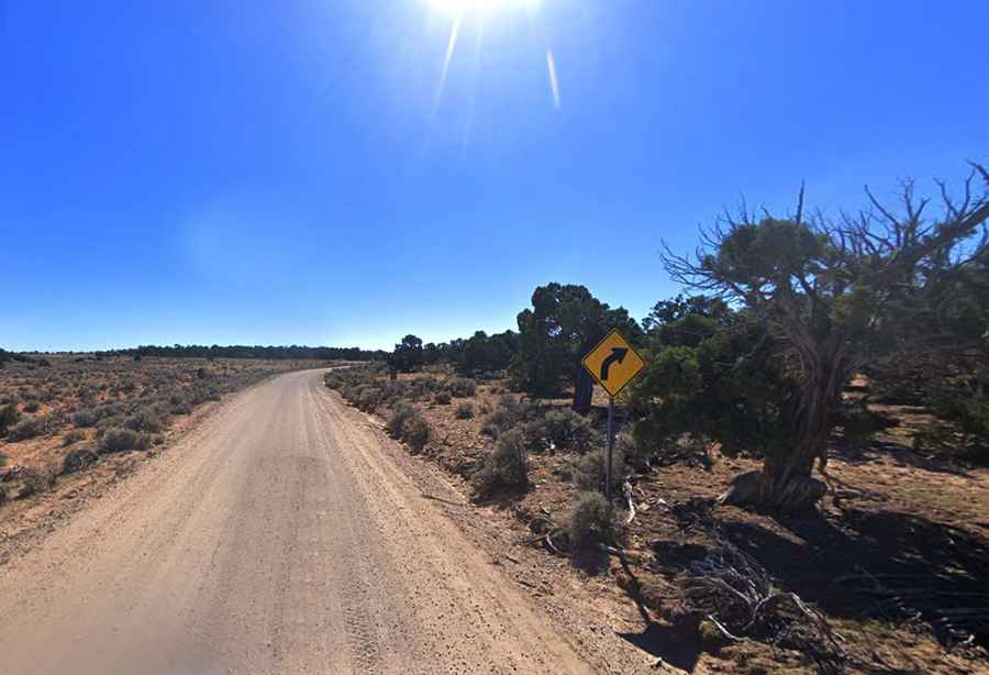
The journey to the summit starts in the town of Cleveland and covers 21 miles of unpaved terrain. The challenge of the road is the length and the dust; driving over 33 kilometers on the Cedar Mountain Road means dealing with a surface that varies from hard-packed gravel to fine, powdery silt. While the gradient is manageable for most high-clearance vehicles, the sustained nature of the climb can put a thermal load on the engine, especially during the summer months. Navigating this plateau requires a disciplined velocity to avoid losing control on the loose surface during the long, straight sections where the lack of visual markers can lead to excessive speed.
Why is the high-desert weather a factor on Cedar Mountain Road?
At 2,339 meters, Cedar Mountain is fully exposed to the high-desert winds that sweep across Emery County. These winds can kick up massive clouds of dust, reducing visibility to nearly zero and making the driving line difficult to track. During sudden summer storms, the unpaved surface can quickly become slick, turning the dry roadbed into a hazardous track where lateral traction disappears. Flash floods are a constant risk in the surrounding canyons, and while the plateau road is more stable, the access points can be compromised by debris and washouts that require high clearance to bypass safely.
What are the hazards of the plateau transit near the communication towers?
The geography of Cedar Mountain is characterized by its wide-open, flat-topped appearance, but the edges of the plateau feature significant drops. The road leads to a series of communication towers and facilities where the track can become narrower and more rutted due to maintenance vehicle traffic. The lack of safety barriers means that maintaining focus is vital, particularly when the road surface becomes "washboarded" from heavy use. Driving too fast on these corrugated sections will lead to suspension fatigue and a dangerous loss of braking efficiency. When descending back toward Cleveland, using engine braking is the only way to manage the vehicle's momentum safely over the long unpaved return.
What mechanical preparation is needed for the Emery County backcountry?
Driving the 21 miles to the top of Cedar Mountain is a task that requires a vehicle in perfect mechanical health. Before leaving Cleveland, a full audit of your cooling system and air filters is mandatory, as the fine desert silt will quickly clog any compromised intake. The sharp gravel of the Cedar Mountain Road can be hard on tires, so carrying a full-sized spare and a reliable jack is essential. Because this is an isolated recreation area, cell coverage is spotty and help can be far away. Ensure you carry enough water and basic recovery gear to handle a breakdown in a territory where the sun and wind are the primary environmental hazards.