Driving the Rugged Forest Road 254 to Mount Shavano in Colorado
Mount Shavano is a prominent high mountain peak in the Sawatch Range of central Colorado. While the summit reaches a towering 4,338m (14,235ft), an old mining track known as Forest Road 254 (Blank’s Cabin Road) climbs the southeastern slopes up to an elevation of 3,217m (10,554ft) above sea level. This road is the primary access for those seeking the famous "Angel of Shavano."
Where is Mount Shavano?
The peak is located in Chaffee County, within the San Isabel National Forest, near the towns of Salida and Poncha Springs. It stands as the southernmost "14er" of the Sawatch Range, positioned just east of the Continental Divide.
🏔️ Forest Road 254 Technical Data
| Max Road Elevation | 3,217m (10,554ft) |
| Avg. Gradient | 4.60% |
| Total Distance | 10.7 miles (17.21 km) |
| Access Status | Seasonal (June - Oct) |
The Legend of the "Angel of Shavano"
Named after Chief Shavano of the Ute tribe, the mountain is world-famous for the Angel of Shavano. This is a natural snow formation on the east face that appears every spring as the snow melts. The "angel" with outstretched wings is a sacred symbol in local lore and can be clearly seen from the valley floor and sections of FR 254.
Is the road to Mount Shavano difficult?
Yes. Forest Road 254 is a classic Colorado mining track. It is completely unpaved, featuring loose rocks, steep switchbacks, and narrow shelf sections. The second half of the climb is particularly bumpy with "whoops" and deep ruts.
- Vehicle Note: While the first part might be accessible to soft-roaders, the final stretch to the mining ruins and the trailhead requires a high-clearance 4x4.
How Long is the Road to Mount Shavano?
Starting from the paved US Highway 285, the road is 10.7 miles (17.21 km) long. Over this distance, the elevation gain is 793m, with an average gradient of 4.60%.
Is the Road to Mount Shavano Open in Winter?
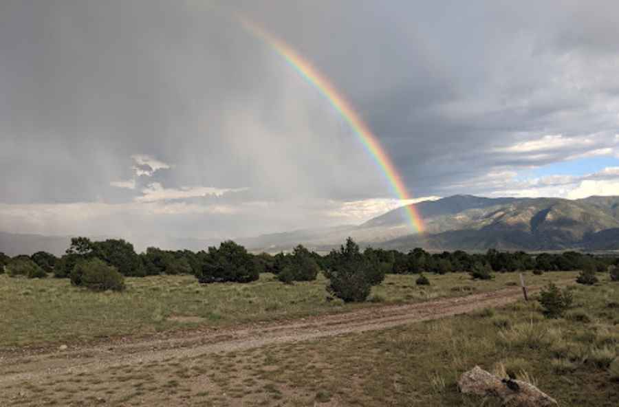
Due to its high altitude in the Sawatch Range, FR 254 is subject to extreme alpine weather. The road is typically impassable from late October through late June due to deep snowdrifts. Even in July, lingering snow can block the upper sections.
Pic: Joe Kubala