How to drive the treacherous 4x4 road to Blacktail Mountain in Montana?
Blacktail Mountain is a mountain peak at an elevation of 2,785 meters (9,137 feet) located in Beaverhead County, in the US state of Montana, located south of Dillon in a remote section of BLM and Forest Service public lands.
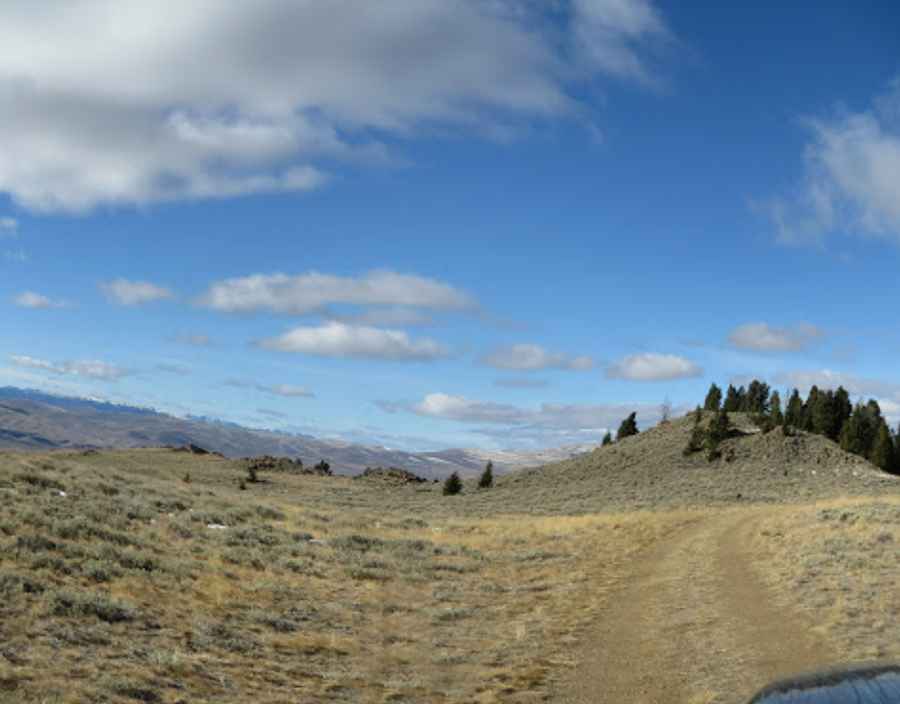
| Location | Beaverhead County, Montana, USA |
| Elevation | 2,785 m (9,137 ft) |
| Nearest Town | Dillon (South of) |
| Surface | Totally Unpaved / Rocky |
What is at the summit of Blacktail Mountain?
The peak is the high point of the Blacktail Mountains, overlooking the Ruby River Valley and the Continental Divide. Elk and mule deer are frequent on the slopes, and the summit is completely isolated with no nearby services.
Is the road to Blacktail Mountain in Montana unpaved?
The track to the top is unpaved, unmaintained, and eroded, filled with loose rocks and deep ruts. High-clearance 4x4 vehicles are required to clear the shelf sections, and zero mobile signal means drivers must carry basic tools and recovery gear.
When is the best time to drive to Blacktail Mountain?
Heavy snowpack blocks the route through winter and spring, restricting access from late June through September. Summer rainstorms turn the dry dirt into mud, and the sharp stones along the track frequently cause tire punctures.
Pic: Andy Fallon (LT Fallon)