Driving the U.S. Highway 395 to Long Creek Mountain Summit in Oregon
Long Creek Mountain Summit is a high mountain pass reaching an elevation of 1,551m (5,088ft) above sea level, located in Grant County, Oregon. Positioned within the Blue Mountain Range, the pass is a critical logistical point on the U.S. Highway 395, a route subject to significant elevation shifts and high-desert weather patterns.
| Road facts: Long Creek Mountain Summit | |
|---|---|
| Location | Grant County, Oregon (USA) |
| Elevation | 1,551 m (5,088 ft) |
| Road Number | U.S. Highway 395 |
| Length | 152 km (95.0 miles) |
| Surface | Paved (Asphalt) |
Is the road through Long Creek Mountain Summit in Oregon paved?
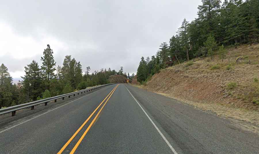
Yes, the road reaching the 1,551m summit is fully paved and professionally maintained as part of the U.S. Highway 395 (World War I Veterans Memorial Highway). Technically, the asphalt surface is engineered for high-volume logistical transit, located south of Battle Mountain. However, the road features sustained gradients and a series of technical curves that demand constant speed management. Logistically, the pavement is subject to extreme thermal expansion and frost-heave cycles, which can create localized surface irregularities and cracks throughout the high-altitude sector.
How long is the road through Long Creek Mountain Summit in Oregon?
The 152-kilometer (95.0 miles) transit runs north-south, connecting Nye in Umatilla County to Mount Vernon in Grant County. Logistically, this 152 km stretch is a **remote mountain corridor** with limited fuel and mechanical services. Technically, the drive involves crossing multiple summits and valleys, requiring efficient gear management to prevent brake fade during the long descents. The transit through the Blue Mountains involves significant vertical gain and loss, making it a high-demand route for heavy-duty freight vehicles and long-distance transport logistics.
Is the drive through Long Creek Mountain Summit in Oregon worth the drive?
From a technical and logistical perspective, the 152 km drive through Long Creek Mountain Summit is an essential transit through northeastern Oregon's high country. Technically, the route traverses dense forest environments of ponderosa pine and Douglas fir, which present logistical hazards such as downed timber and wildlife crossings (deer and elk) that are common in this sector. During the winter months, the 1,551m elevation leads to heavy snow accumulation and ice formation. Logistically, the drive requires high-precision navigation through "zero-traction" zones during storm events, making winter tires or snow chains a mandatory technical requirement for safe transit.