Pat Knoll: Driving Forest Road 90 in the Apache-Sitgreaves National Forest
At an elevation of 2,859m (9,379ft) above sea level, Pat Knoll is a high mountain peak in Apache County, Arizona. Located within the Apache-Sitgreaves National Forest in the northeastern part of the state, it stands as one of the highest roads in Arizona.
| Road facts: Pat Knoll | |
|---|---|
| Location | Apache County, Arizona, USA |
| Elevation | 2,859 m (9,379 ft) |
| Length | 8.04 km (5.0 miles) |
| Road Names | Forest Road 90 / Route 60 |
| Surface | Unpaved / Dirt and Gravel |
How is the road to Pat Knoll?
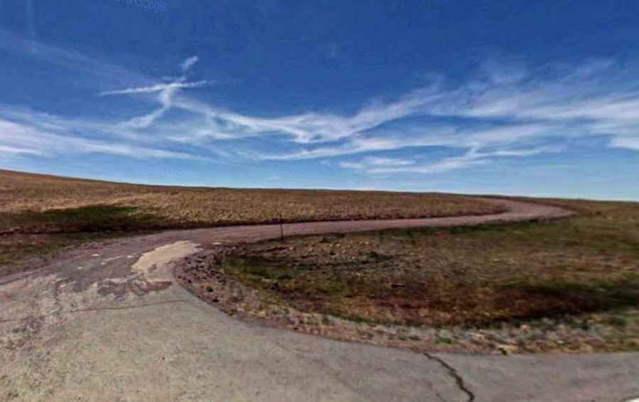
The ascent to the summit begins at the junction with the paved AZ-261. The route covers 8.04 km (5.0 miles) via Forest Road 90 and Route 60. The road is entirely unpaved, consisting of a mix of volcanic dirt and loose forest gravel. While the distance is relatively short, the track is technical; drivers will encounter washboard sections, deep ruts, and occasionally fallen timber. A high-clearance 4x4 vehicle is strongly recommended to navigate the uneven terrain and the steep final approach to the peak.
Is the road to Pat Knoll open in winter?
No. Due to its high elevation near the 9,400ft mark, the road is seasonally closed during the winter months. Heavy snowfall in the White Mountains of Arizona makes the track impassable from late November until May or June. Even in the summer, the road is subject to the "monsoon" season; sudden afternoon thunderstorms can turn the dirt sections into thick mud, making traction difficult even for experienced off-roaders. Always check the Apache-Sitgreaves National Forest service alerts for gate closures or fire restrictions before departing.
What are the main hazards on Forest Road 90?
The primary hazards are high altitude, blind corners, and wildlife. At nearly 2,900 meters, engine performance is noticeably reduced, and drivers should use lower gears to maintain torque on the steeper ramps. The road is narrow with very few passing pockets, requiring a slow pace and constant awareness of oncoming traffic or service vehicles. Wildlife, particularly elk and mule deer, are common in this area and often cross the track without warning. There are no safety barriers, and the soft shoulders can be dangerous if the ground is saturated after rain.
Logistics and Equipment
This is a remote forest drive with no services, fuel, or water. Ensure your vehicle has a full tank of gas before leaving Eagar or Greer. Mobile signal is spotty and often drops out in the canyons leading to the peak. It is essential to carry a full-size spare tire and basic recovery tools, as the volcanic rock in this region of Arizona can be sharp and prone to causing punctures. Due to the isolation, it is recommended to travel during daylight hours and avoid the track if heavy storms are forecasted.