Road trip guide: Conquering Salina Creek Road in Utah
Set high in Sevier County, in the US state of Utah, Salina Creek Road is a scenic mountain drive, winding through Manti-La Sal National Forest.
Where is Salina Creek Road?
The road -Forest Road 009- is located just east of Salina, in the central part of Utah. It runs along the Salina Creek and crosses the river twice with bridges.
How long is Salina Creek Road?
It is 19.79 km (12.3 miles) long, running south-north from the paved Convulsion Road, near Interstate 70 (I-70), to Willow Creek and Skyline Drive Scenic Backway on the north end.
Can I drive my vehicle on Salina Creek Road?
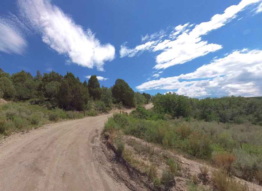
The road is maintained gravel. It is passable by most vehicles and suitable for passenger cars in good weather.
Is Salina Creek Road open?
Set high in Manti-La Sal National Forest, the road tops out at 2,746m (9009ft) above sea level. It’s seasonally closed and usually open from spring through the end of the year.
Pic: Shannon Bushman