State Highway 103 is a chillout in the high mountains of Colorado
Colorado State Highway 103 is a high mountain road located in Clear Creek County, in the U.S. state of Colorado. Join us as we explore the story of this scenic road.
Where is Colorado State Highway 103?
State Highway 103 (SH 103), also known as Mestaa’Ėhehe Road (formerly Squaw Pass Road), is located within the Arapaho National Forest, in the Front Range along the eastern edge of the Rockies, in the central part of Colorado, easily accessible from the Denver metropolitan area.
How long is Colorado State Highway 103?
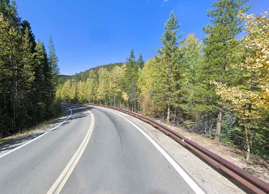
The road is paved in very good conditions. Established in 1923, the route was entirely paved by 1956. It’s 22.48 miles (36.191 km) long, running from the City of Idaho Springs (the most populous municipality in Clear Creek County) to Mestaa’Ėhehe Pass (formerly Squaw Pass).
Is Colorado State Highway 103 open?
It’s a high mountain road, reaching a maximum elevation of 3,407m (11,177ft) above sea level. Although it's open to traffic throughout the year, the road might be closed for short periods in winter when the weather is bad. It climbs up to Mestaa’Ėhehe Pass (formerly Squaw Pass), at 2.984m (9,790ft) above sea level, and Juniper Pass, at 3.368m (11,049ft) above sea level.