All About the Road to Blue Slide in Washington
Blue Slide is a high mountain peak at an elevation of 2,072m (6,797ft) above sea level, located in Yakima County, in the U.S. state of Washington. It’s one of the highest roads in Washington.
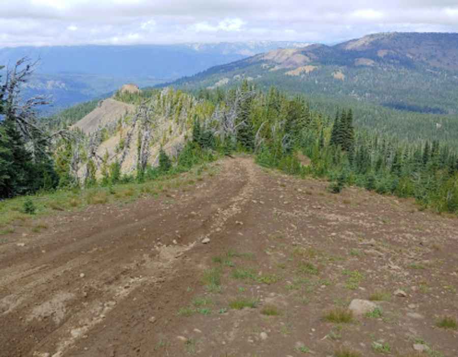
Is the road to Blue Slide in Washington unpaved?
Set high in the Wenatchee National Forest, the road to the summit is entirely unpaved. It’s called NF-1020. A 4x4 vehicle is required to complete the drive. The road is usually impassable in winters.
How long is the road to Blue Slide in Washington?
Starting from the paved North Fork Road, at Ahtanum Meadow Campground, the road to the summit is 22.53km (14 miles) long. Over this distance, the elevation gain is 1289m, and the average gradient is 5.72%.
Where was Blue Slide Lookout Tower located?
The road to the summit was built in the 1940s. The summit hosted a lookout tower, known as Blue Slide Lookout Tower, from 1942 when it was developed to 1971 when it was destroyed.
Pic: Bryan Hermans