How to get by car to the San Andreas Fault?
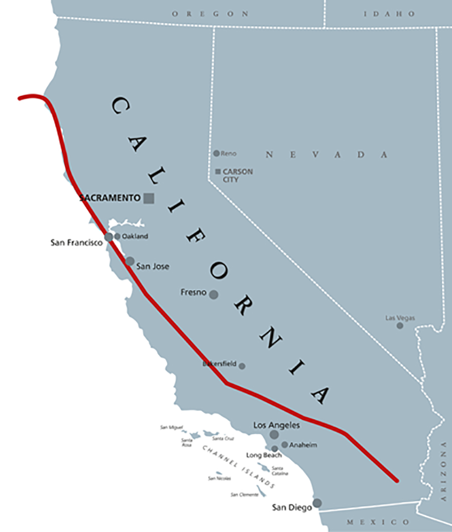
The San Andreas Fault, a geological marvel dividing California, offers unique insights into Earth's dynamics. Comprising the Southern, Central, and North segments, it beckons adventurers to witness its influence on the landscape.
Embark on a car journey to delve into the San Andreas Fault's geological history. Navigate its diverse segments, face the inherent risks, and witness the transformative power of tectonic forces on California's captivating landscape.
Palm Springs
In Palm Springs, the Southern San Andreas Fault takes center stage. The fault's influence is evident in the monolithic geological features and the creation of desert oases. Explore 1000 Palms Canyon, an oasis directly situated along the fault line, where bubbling water fissures reveal the profound impact of the fault beneath the surface. Palm Springs becomes a gateway to understanding the fault's immediate effects on the landscape.
Carrizo Plain
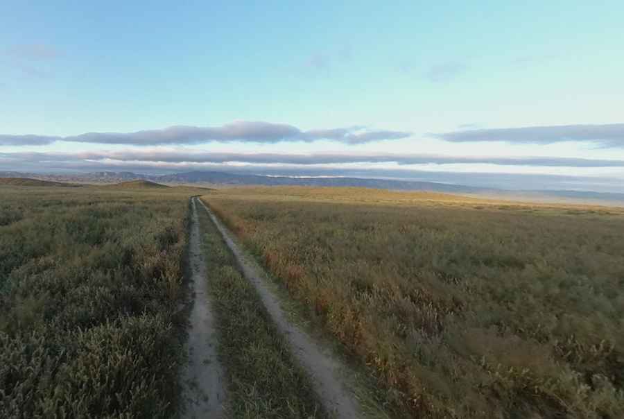
Venture to the Carrizo Plain National Monument, a hidden gem where the drama of the fault unfolds. Soda Lake, with the fault running at its base, becomes a canvas illustrating the fault's impact. The offset stream beds and torn hills tell a silent story of the fault's movement. Here, isolation enhances the adventure, demanding a preparedness that adds to the thrill of exploration.
Parkfield
Parkfield, a town perched on a bend in the fault, holds the key to understanding seismic history. The town's bridge, rebuilt multiple times due to earthquakes, acts as a visual record of the fault's activity occurring approximately every 150 years. The San Andreas Fault Observatory, with its deep well, provides an educational dimension, offering insights into the fault's depths and behavior.
Pinnacles National Park
Pinnacles National Park reveals the aftermath of the fault's movement. Rocks, carried from Los Angeles on the Pacific Plate, narrate a geological saga of destruction and creation. The unique rock formations, sculpted by the San Andreas Fault, contribute to the park's allure, showcasing the dynamic interplay of tectonic forces.
San Juan Bautista
San Juan Bautista's old Spanish mission stands proudly above the fault, a symbol of resilience in the face of seismic activity. A plaque explains the fault's role, highlighting the slightly elevated earth below. Despite enduring tremors, the mission remains standing—a testament to the indomitable spirit against the forces of nature.
Trancos Ridge
Hiking Trancos Ridge in the Santa Cruz Mountains offers a subtle yet impactful exploration of fault-induced features. Gullies, valleys, and water beds, shaped by the fault's influence, dot the trail. Close to the epicenter of the 1989 Loma Prieta earthquake, the ridge provides a unique perspective on the fault's long-term impact on the landscape.
Pic TheFlipFlopWanderer
Map&more info: https://www.earthquakeauthority.com/Blog/2020/San-Andreas-Fault-Line-Map