Driving the historic road to Carroll Summit in Nevada
Carroll Summit is a high mountain pass at an elevation of 2,277m (7,470ft) above sea level, located on the boundary between Lander and Churchill counties in the U.S. state of Nevada.
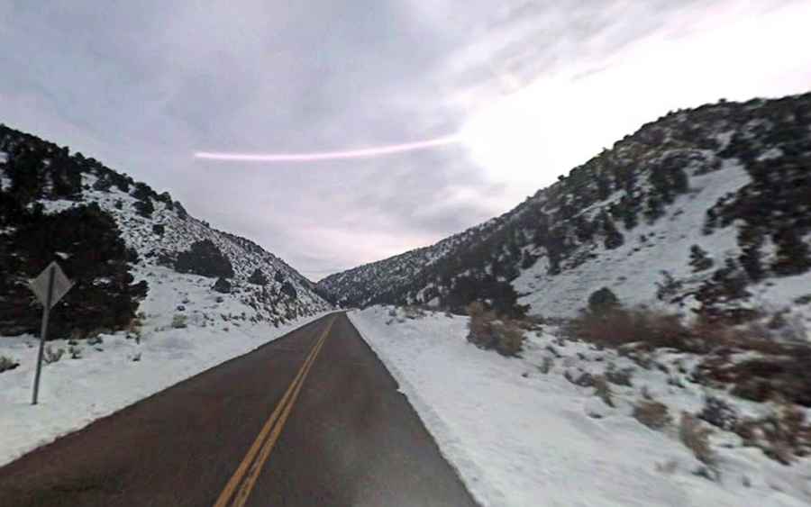
Is the road to Carroll Summit paved?
Tucked away in the western part of Nevada, the road to the summit is fully paved. It’s called Nevada State Route 722/State Highway 2. The road was finished in the spring of 1925. Unfortunately, there is no summit sign at the summit, just a county line sign. The highway is an old routing of U.S. Route 50 (US 50) and previously the Lincoln Highway.
How long is Carroll Summit?
The road is 93.66km (58.2 miles) long, running west-east from Eastgate (in Churchill County) to Austin (the former county seat of Lander County).
How to get to Carroll Summit Station?
Set high in the Desatoya Mountains, near the summit is the historic Carroll Summit Station. It’s an old roadside station built around 1925. In that time, climbing Carroll Summit was not the leisurely and thoughtless activity it is today; people needed to plan the trip accordingly and stop every so often to cool off their automobiles.