How to drive to the highest fire lookout in North America on Fairview Peak?
Fairview Peak is a high mountain peak at an elevation of 2,532m (8,307ft) above sea level, located in Churchill County, in the U.S. state of Nevada.
Where is the highest fire lookout in North America?
Situated high in the western part of Nevada, in the Clan Alpine Mountains, Fairview Peak hosts radio equipment and the highest fire lookout in North America. The Fairview Peak Fire Lookout, a one-room stone hut, is the highest fire lookout in North America and was constructed around 1912, just seven years after the establishment of the Gunnison National Forest. The summit offers spectacular views of the area. In 1954, at 3:08 a.m. on December 16, two enormous earthquakes occurred just minutes apart, resulting in prominent scarps that extend for miles along the range fronts. Due to the remoteness of the area, the damage was minor, and no injuries were reported.
How to get by car to Fairview Peak?
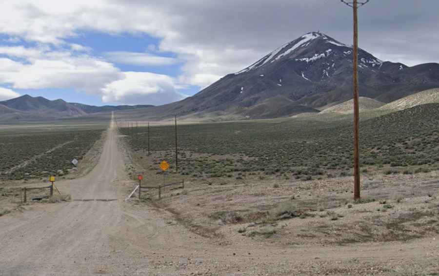
The dirt road to the summit, also known as Fairview Cairn and Fairview Mountain, is fully unpaved and incredibly steep in spots. While the road itself is maintained and in pretty good shape, it is sandy and steep in some sections, requiring a 4WD vehicle.
How long is the road to Fairview Peak, the highest fire lookout in North America?
Starting from U.S. Route 50, "The Loneliest Road in America," to the west of Middlegate, the road to the summit is 15.12km (9.4 miles) long. Over this distance, the elevation gain is 1.254m. The average gradient is a brutal 8.29%.