Anchorite Pass in Nevada: The Ultimate Road Trip Guide
Anchorite Pass is a high mountain pass at an elevation of 2.326m (7,631ft) above the sea level, located in Mineral County, in the U.S. state of Nevada, near the California border.
Is the road to Anchorite Pass paved?
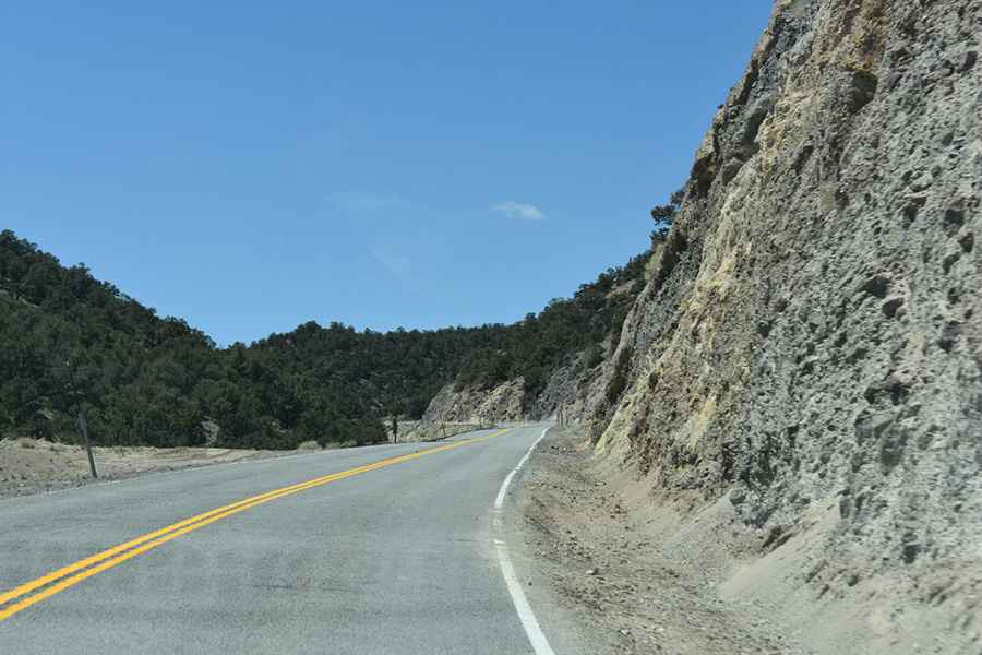
Yes, the road leading to the summit is fully paved and is known as Nevada State Route 359 (NV-359). This pass marks the highest point on the route. However, travelers should note that it's a fairly remote drive with no services available for a stretch of 55 miles.
How long is Anchorite Pass in Nevada?
The pass spans a distance of 89.15km (55.4 miles), running from Mono City in Mono County, California, to Hawthorne in Mineral County, Nevada. For the most part, the road is straightforward, lacking significant turns or steep sections.
Pic: John T