How to drive the scenic Tremont Road in the Great Smoky Mountains
Tremont Road, located in Blount County in the US state of Tennessee, offers a picturesque drive through the Great Smoky Mountains National Park.
How long is Tremont Road?
The road, comprising both paved and unpaved sections, is 8.20km (5.1 miles) long, running north-south from Laurel Creek Road to the Middle Prong Trail Trailhead.
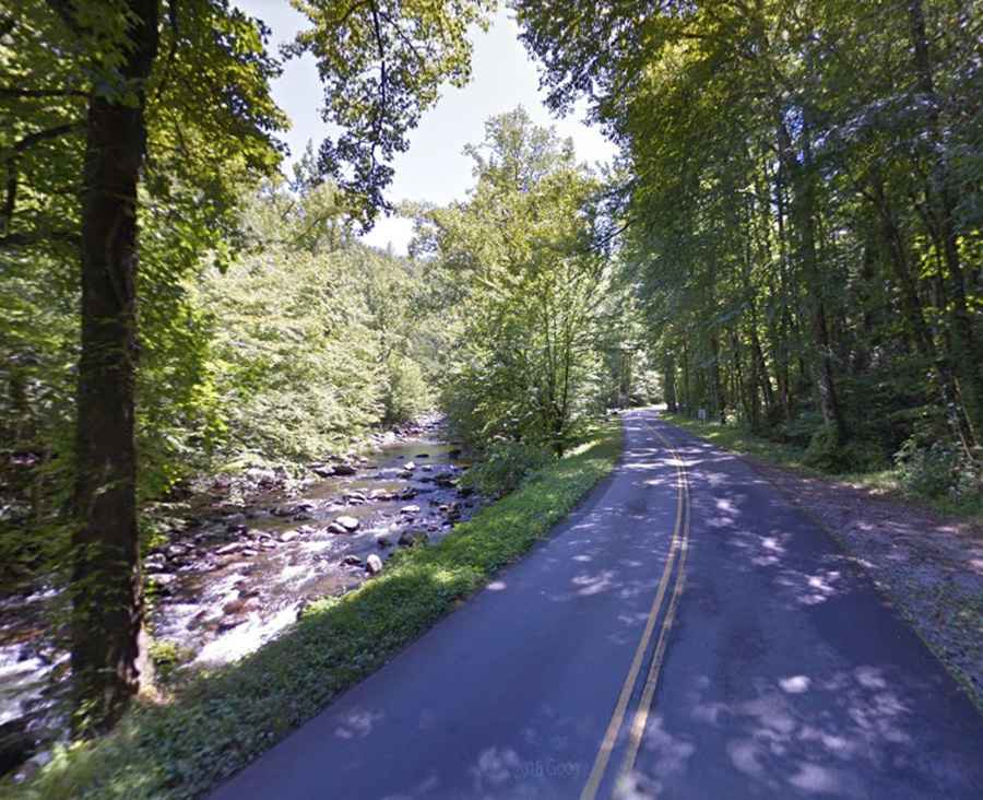
Driving the paved Tremont Road
The start of this journey is pretty smooth. The first nearly 3km (2 miles) of Tremont are called Tremont Road. It’s well-paved and leads up to the Great Smoky Mountains Institute. You'll find this part starting right off Little River Road and going all the way up to Walker Valley.
Driving the unpaved Upper Tremont Road
As you drive further, Tremont Road becomes what's known as Upper Tremont Road. This 4.98km (3.1-mile) stretch is all gravel and follows an old railroad route. This section begins at the Great Smoky Mountains Institute and goes up to the Middle Prong Trail Trailhead.
Is Tremont Road in Tennessee worth it?
Located in the northwestern Great Smoky Mountains National Park, the drive is a hidden gem. It’s a very scenic drive, away from it all. The views are stunning, especially during the fall. If you're looking to get away from the busy roads and crowds, Tremont Road is the drive for you.