The twists and turns of Witter Gulch Road: A Colorado driving adventure
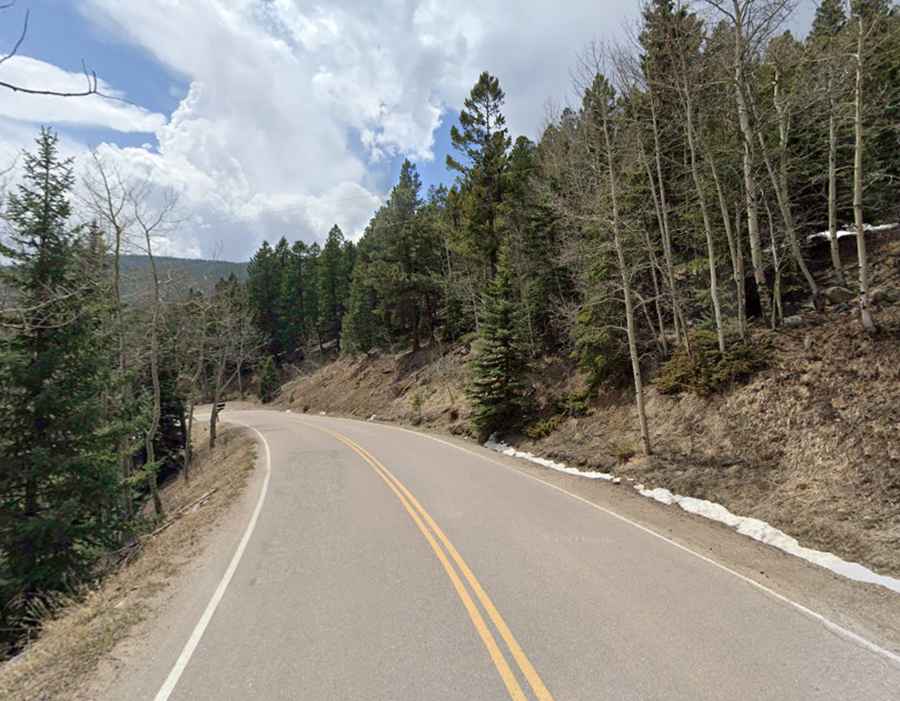
The curvy Witter Gulch Road is a very challenging drive located in Clear Creek County, in the U.S. state of Colorado.
How long is Witter Gulch Road?
Tucked away in the central part of Colorado, the road is fully paved and in very good condition. It’s 7.40km (4.6 miles) long, running north-south from Colorado State Highway 103 (to the east of Mestaa’Ėhehe Pass or Squaw Pass) to Upper Bear Creek Road.
Is Witter Gulch Road difficult?
Set high in the Front Range of the Rocky Mountains, the road, also known as County Road 475, is extremely challenging, with 14 hairpin turns and very steep sections. It runs from an elevation of 2,809m (9,215ft) to 2,272m (7,454ft). The elevation gain is 603m, and the average gradient is 7.1%.