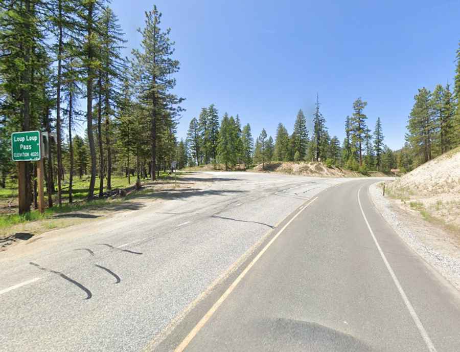
A scenic paved road to Loup Loup Pass in Washington’s Cascade Range
Loup Loup Pass is a high mountain pass at an elevation of 1.226m (4,020ft) above sea level, located in Okanogan County, in the US state of Washington.
How long is the Loup Loup Pass route in Washington?
The road leading to the summit is fully paved and is known as SR 20. This scenic drive offers breathtaking views along its course. A quaint ski area can also be found at the pass. The pass spans a length of 46.18km (28.7 miles), extending from the west in Methow Valley Highway (situated to the south of Twisp) to the east in Okanogan.
Is the Loup Loup Pass in Washington open all year?
Nestled in north-central Washington, within the Cascade Range, the pass remains open to traffic for most of the year. However, between November 1 and April 1, it may face temporary closures due to adverse weather conditions.