Fishlake Scenic Byway: Driving the U-25 to the heights of Southern Utah
The Fishlake Scenic Byway, officially known as Utah State Route 25 (U-25), is a high-altitude paved road that cuts through the heart of the Fishlake National Forest. Reaching an elevation of 2,763m (9,064ft), it connects the high desert plains with one of the most significant alpine environments in southern Utah, serving as the main access to the massive Fish Lake basin.
| Road facts: Fishlake Scenic Byway (U-25) | |
|---|---|
| Location | Sevier and Wayne counties, Utah, USA |
| Length | 47.63 km (29.6 miles) |
| Max Elevation | 2,763 m (9,064 ft) |
| Road Surface | Fully Paved |
| Driving Time | Approx. 1 hour |
Where does the Fishlake Scenic Byway start and end?
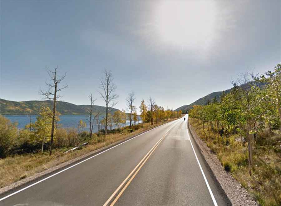
The route spans 47.63 km (29.6 miles) across Sevier and Wayne counties. It begins at the junction with SR-24, near the town of Koosharem, and heads east toward SR-72. Along the way, the road skirts the shores of Fish Lake and passes the Johnson Valley Reservoir. This is a mountain road with constant curves and changes in grade as it climbs out of the desert floor and into the dense aspen and pine forests of the plateau.
Is the Fishlake Scenic Byway open year-round?
While the U-25 is a paved state highway maintained throughout the year, winter driving is a different story. The section between Fish Lake and Highway 72 is notorious for heavy snow accumulation and black ice. At over 2,700 meters, storms can bury the asphalt in hours, and high winds often cause snowdrifts that make the road impassable for standard vehicles. If you are driving this route between November and April, carrying snow chains and checking the latest weather reports from the National Forest service is mandatory.
What are the driving conditions on the Fishlake Scenic Byway?
The road is fully paved and in good condition, suitable for all vehicle types including RVs and trailers. However, the steep descent toward the SR-24 junction requires careful use of the engine brake to avoid overheating the braking system. The landscape you see today—the high mountain cirques and gravel moraines around the lake—is a result of ancient glaciers. For the modern driver, this means the road follows narrow natural corridors and ridges. Watch out for wildlife on the road, especially deer and elk, which are extremely common in the aspen groves during dawn and dusk.
Is the drive to Fish Lake worth it?
For those interested in high-altitude environments, this is one of the most accessible ways to reach the alpine tundra of southern Utah. Beyond the pavement, the area is surrounded by dry lake beds and geological remnants of the last Ice Age. Most travelers use the road to access the boat ramps and fishing spots at Fish Lake, but the drive itself is a classic mountain traverse. Just remember that cell service is spotty at best once you enter the National Forest, so have your maps downloaded before you leave Koosharem.