How to drive the unpaved Lake Creek Road in Utah?
Lake Creek Road is a high mountain road located in Beaver County, in the US state of Utah. It’s one of the highest roads of Utah.
Where is Lake Creek Road?
The road is located in the west-central part of Utah, within the Fishlake National Forest.
How long is Lake Creek Road?
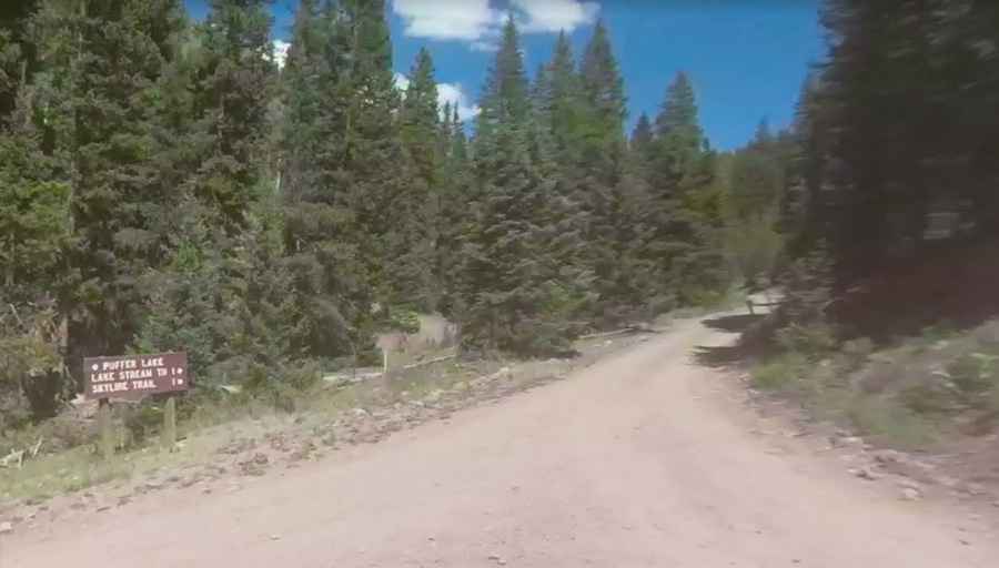
Lake Creek Road (Forest Road 642) is totally unpaved. It is a very scenic high mountain road offering a unique driving experience. It’s 2.25km (1.4 miles) long. Despite its modest length, the route traces a scenic journey, coursing along the Stream River and leading from the junction with Forest Road 129 (FR129) all the way to the Lake Stream Trailhead Campground.
Is Lake Creek Road open?
Set high in the Tushar Mountains, the road tops out at 3.200m (10,498ft) above sea level. Lake Creek Road is subject to seasonal closures due to the region's weather patterns. The road generally closes from October and remains inaccessible through June due to heavy snowfall and harsh winter conditions that render it impassable. When open, this high mountain road provides a fascinating drive.
Pic: CP W