A beautiful drive to Greenhorn Summit in the southern Sierra Nevada of CA
Greenhorn Summit is a high mountain pass at an elevation of 1.859m (6,102ft) above the sea level, located in Kern County, in the US state of California.
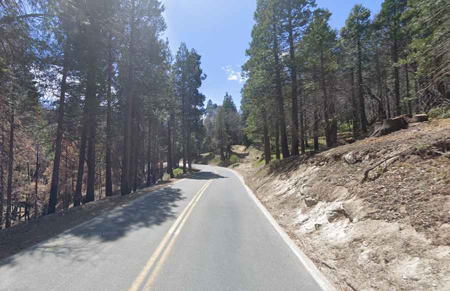
Is the road to Greenhorn Summit paved?
Set high in the central part of California, the road to the summit is totally paved. It’s called California State Route 155 (Garces Highway). The pass is the highest point of the road.
How long is Greenhorn Summit in California?
The pass is 90.76km (56.4 miles) long running west-east from CA 99 in Delano to CA 178 in Wofford Heights, near Isabella Lake, via Glennville.
Is Greenhorn Summit in California challenging?
Set high in the Greenhorn Mountains of the southern Sierra Nevada, the road is pretty defiant, with countless turns and steep sections, hitting a 10% of maximum gradient through some of the ramps.