How to drive the Sterling Highway in Alaska?
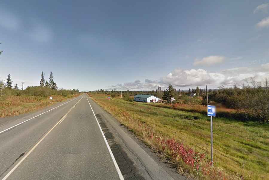
Sterling Highway is a very scenic drive located in the south-central region of the U.S. state of Alaska, Opened in the fall of 1950, the drive runs through the western side of the Kenai Peninsula.
How long is the Sterling Highway?
Part of Alaska Highway 1, the road is the principal route on the Kenai Peninsula. It’s 222km (138 miles) long. It is a paved two-lane road.
Where does the Sterling Highway start and end?
The road runs from the Seward Highway at Tern Lake Junction (to the south of Anchorage, the state’s largest city) to Homer, a town on Kachemak Bay, on Alaska’s Kenai Peninsula.
Why is it called the Sterling Highway?
It’s named after Hawley Sterling, an engineer of the Alaska Road Commission.
Is the Sterling Highway open?
The highway is open year round but short term closures are common in winter due to dangerous weather conditions. There are also many sharp turns that make driving in winter or during wet weather more challenging than on other roads. It is much busier during the summer months.
When was the Sterling Hwy built?
Construction of the highway began in 1947 and was opened in the fall of 1950.
Is the Sterling Highway worth it?
Running along the western coast of the peninsula, the road offers stunning views features extraordinary mountain scenery, sparkling lakes, glacier-fed streams, and beautiful coastal inlets.